Third Rail Trains from,UK & Germany
View allAll Photos Tagged THIRD
I took this shot circa 1974 with the Pentax K1000 film camera. This photo was scanned from a print. These third graders are hard at work creating three dimensional clay maps of continents and ocean floors as part of a curriculum I helped create and develop.
Quelque part dans l'État de Washington
Somewhere in Washington State
Écoutez ici- Listen here:
Third wind Pat Metheny group
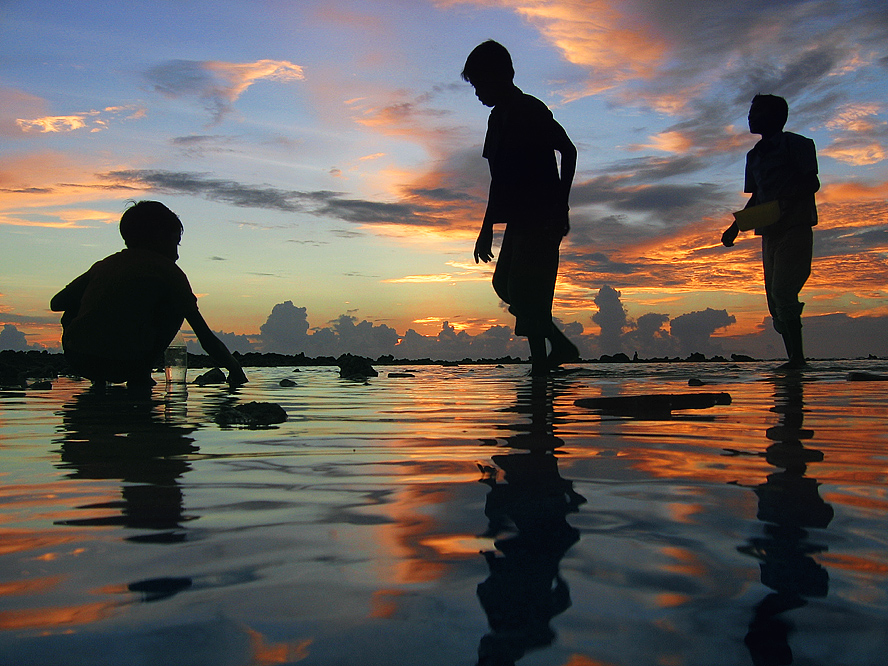
Hair: Magika - Dawn
MakeUp: Suicidal Unborn - 90's Glam Lipstick
Bolero: PsychoBarbie - Sigyn
Bra, CorsetSkirt, Panties: Violent Seduction - Medea NEW @Equal10
Blindfold: E.A.Studio - Inflict Your Pain
Nails: Quirky - Solid Medium Nails (Matte)
Tattoo: Corazon - Luna
My third try for Moose. I didn't see anything at all. No Moose, no Grouse, nothing except these butterflies in large quantities.
Mon troisième essai pour l'orignal encore plus au nord. Je n'ai rien vu du tout. Ni orignaux, ni tétras, rien sauf ces papillons en grande quantité.
Réserve faunique des Laurentides, Quebec, Canada
Inspired by her 2 older sisters, this youngster is highly competitive. Posted with her parent's permission.
Fluttering from the autumn tree. (Emily Bronte)
It's autumn in my neighbourhood ....
PICTURE OF THE MONTH – June 2011 - Vernissage Group! Thank you so much!
Please note: my images are NOT for use on third party sites such as stumbleupon.
This bus has been retired twice. It used to belong to a school district and later was purchased by a church in Ohio. It now sits on a farm in Indiana awaiting its third adventure. It looks as if most of the seats have been removed, so I'm guessing it will either be used for hauling farm products or awaiting conversion into a "skoolie" (aka school bus motorhome).
1994 Wayne Ford B700 school bus
Near Rexville, Indiana
Le canal de Provence et la ville de Signes dans le Var
Photo aérienne du canal prise à Signes : Située au pied du massif de la Sainte Baume, SIGNES est la commune la plus boisée du Var. Ses 11.000 ha de forêts sont le paradis des chasseurs et des randonneurs.
A cinq minutes du prestigieux circuit du Castellet, SIGNES mérite le nom de station sportive: randonnées pédestres, équestres et VTT.
C’est aussi un site remarquable de parapente. Une histoire riche et tumultueuse est lisible à travers les rues et les monuments du village: Église du XIème siècle, Tour de l’Horloge, Maisons du XVème siècle, Chapelles, Oratoires, Fontaine aux sorcières…
La commune de Signes fait partie de la Communauté d’Agglomération de Sud Sainte Baume.
Le canal de Provence est un ouvrage hydraulique régional qui participe à la desserte, principalement en eau brute, captée dans le Verdon, de 116 communes des Bouches-du-Rhône et du Var dont Aix-en-Provence, Marseille, Toulon, soit une population totale de 3 000 000 d'habitants. Il irrigue par aspersion 80 000 hectares de terres agricoles et alimente plus de 8 000 sites industriels de la région. D'une longueur de près de 270 km dont 140 en souterrain, le canal a été conçu et réalisé progressivement sur la base d'un schéma initial qui a très peu varié, à partir des années 1960, et a depuis trente ans évité les effets de la sécheresse dans les départements desservis, contribuant ainsi à leur développement économique.
Depuis toujours, les Provençaux se sont ingéniés à tirer le meilleur parti de la Durance et de son principal affluent, le Verdon pour produire de l'électricité et fournir de l'eau en suffisance pour les agglomérations, l'irrigation et l'industrie. Depuis 1854, la Durance alimente le Canal de Marseille qui fournit les deux-tiers des besoins en eau de la ville, et dès 1868, le Verdon approvisionne la plaine d'Aix.
Si grâce à ces canaux, Marseille et sa région ne connurent plus de pénurie d'eau potable, les parties rurales de la Provence continuaient de souffrir d'un manque chronique d'eau. Après la Seconde Guerre mondiale, sous l'impulsion du ministère de l'Agriculture, les départements des Bouches-du-Rhône et du Var, ainsi que la Ville de Marseille eurent la volonté d'affranchir la Provence de cette pénurie d'eau qui y limitait ses possibilités de développement.
En 1957, la Société du Canal de Provence (SCP) est créée avec la mission de transférer les eaux du Verdon à travers le relief difficile de la région en construisant le canal de Provence. La SCP gère encore aujourd'hui aussi le barrage de Bimont
Les investissements ont été financés pour moitié par emprunts et pour moitié par subventions de l'État, de la Région, des Départements, de l'Europe et de l'Agence de l'eau.
The Provence Canal and the city of Signes in the Var
Aerial photo of the canal taken in Signes: Located at the foot of the Sainte Baume massif, SIGNES is the most wooded commune of the Var. Its 11,000 ha of forests are a paradise for hunters and hikers.
Five minutes from the prestigious Castellet circuit, SIGNES deserves the name of sports resort: hiking, horse riding and mountain biking.
It is also a remarkable paragliding site. A rich and tumultuous history is legible through the streets and monuments of the village: Church of the XIth century, Tower of the Clock, Houses of the XVth century, Chapels, Oratories, Fountain witches ...
The town of Signes is part of the Community of Agglomeration of South Sainte Baume.
The Canal de Provence is a regional hydraulic structure that contributes to serving, mainly raw water, collected in the Verdon, 116 communes of Bouches-du-Rhône and Var including Aix-en-Provence, Marseille, Toulon, a total population of 3,000,000. It irrigates 80,000 hectares of agricultural land and supplies more than 8,000 industrial sites in the region. With a length of nearly 270 km, including 140 underground, the canal was designed and built progressively on the basis of an initial schema that changed very little, from the 1960s, and has for thirty years avoided the effects drought in the departments served, thus contributing to their economic development.
Historically, the Provençaux have made every effort to make the most of the Durance and its main tributary, the Verdon, to produce electricity and supply sufficient water for agglomerations, irrigation and industry. Since 1854, the Durance feeds the Canal de Marseille which supplies two-thirds of the water needs of the city, and since 1868, the Verdon supplies the plain of Aix.
If thanks to these channels, Marseille and its region did not experience any shortage of drinking water, the rural parts of Provence continued to suffer from a chronic lack of water. After the Second World War, under the leadership of the Ministry of Agriculture, the departments of Bouches-du-Rhône and Var, as well as the City of Marseille were willing to free Provence from this water shortage that it limited its possibilities of development.
In 1957, the Canal Company of Provence (SCP) was created with the mission of transferring the waters of the Verdon through the difficult terrain of the region by building the Canal de Provence. The SCP still manages the Bimont Dam today
The investments were financed half by loans and half by grants from the State, the Region, the Departments, Europe and the Water Agency.
more picture in www.jmlpyt.eu
the art installation "third space" developed by the artist group called Raumlabor is an old military aircraft "Transall" which is now used as an open air stage. During the summer of 2021 it is placed in front of the theatre in Düsseldorf, Germany.