View allAll Photos Tagged ~
❤️ ❤️ ❤️ Offshore World Championships - Key West Boat Races 2011 ❤️ ❤️ ❤️
😎 😎 😎 The World Championships come to Key West for a week of racing every November and there is always a parade of the powerboats on the first Saturday evening 😎 😎 😎
TREKKING DOLOMITES HIGH WAY 1 - BRAIES LAKE/PRAGSER WILDSEE photographed from the Southern shore. Also called the "Pearl of the Dolomites", it is one of the most beautiful and best-known lakes in the Pale Mountains. UNESCO, Braies Valley, Fanes-Sennes-Braies Natural Park, Trentino-Alto Adige/South Tyrol, ITALY.
The AYAS VALLEY, one part, photographed from Punta (Peak) della Regina (Queen) near Colle (Pass) della Ranzola, where a plaque is placed in a chapel commemorating the ascent made by the poet Lev Nikolaevic Tolstoj in 1857. Aosta Valley, ITALY.
Trying to catch up my delay ... (which is still very big) ... but I need to post a new photo from time to time ...
Thank you in advance for all your faves and comments. I might answer several WEEKS/MONTHS later. And I might post several photos in the meantime.
Merci d'avance pour tous vos faves et commentaires. Je vous répondrai peut-être dans plusieurs SEMAINES/MOIS. Et je posterai peut-être plusieurs photos entre temps.
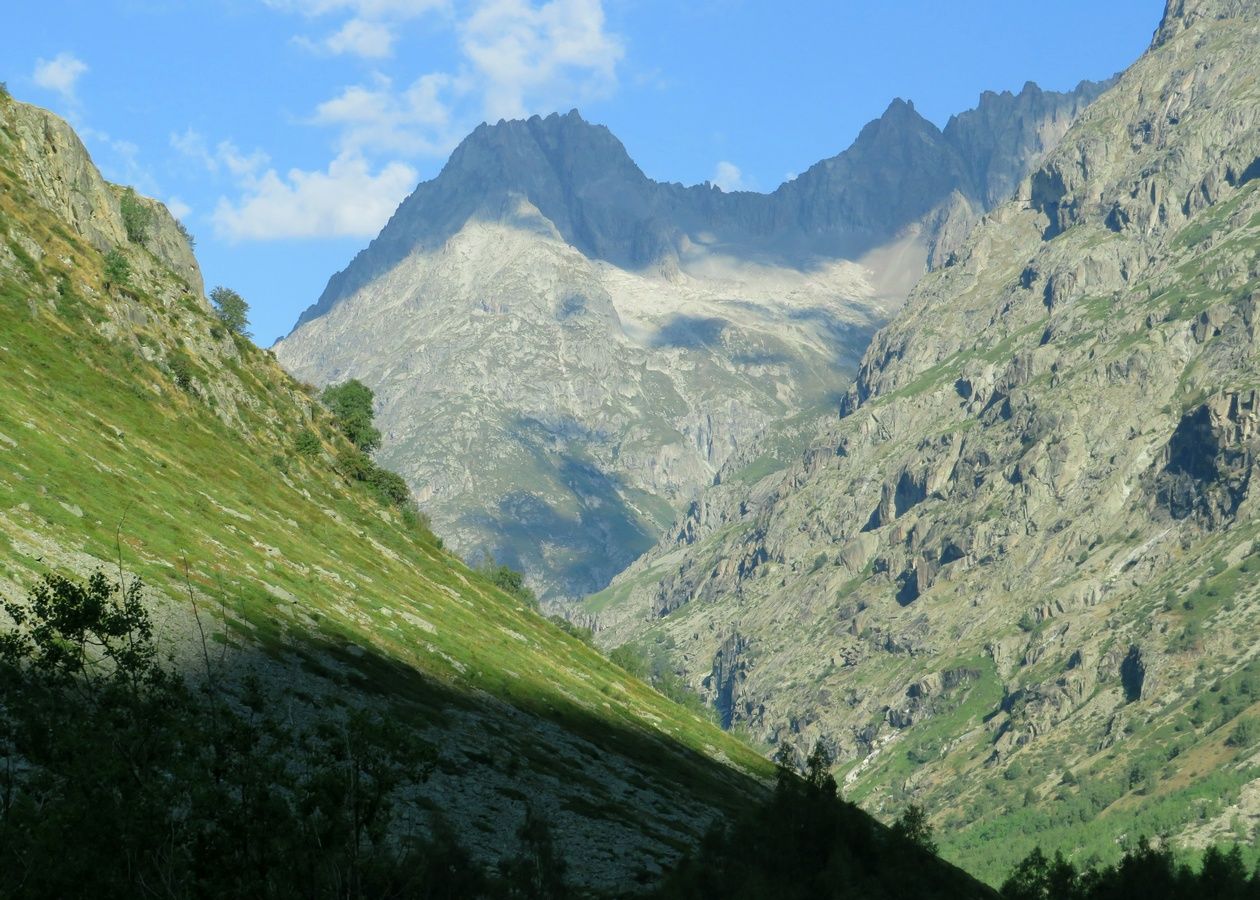
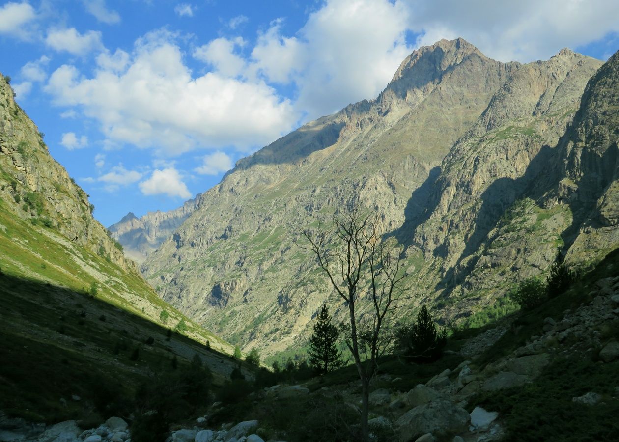
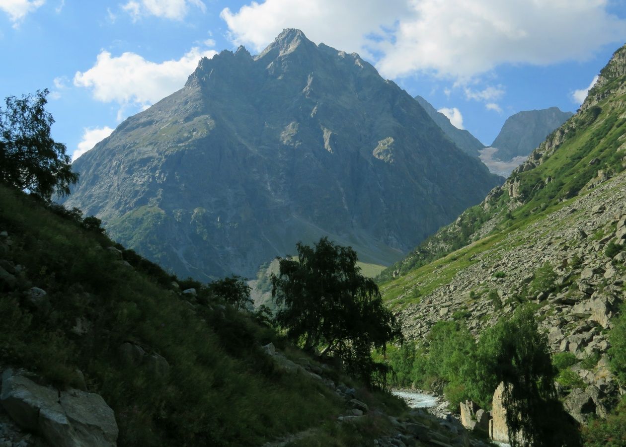
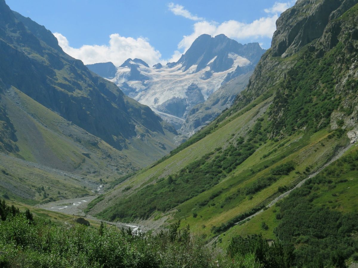
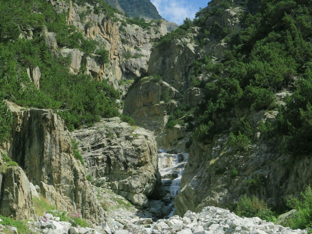
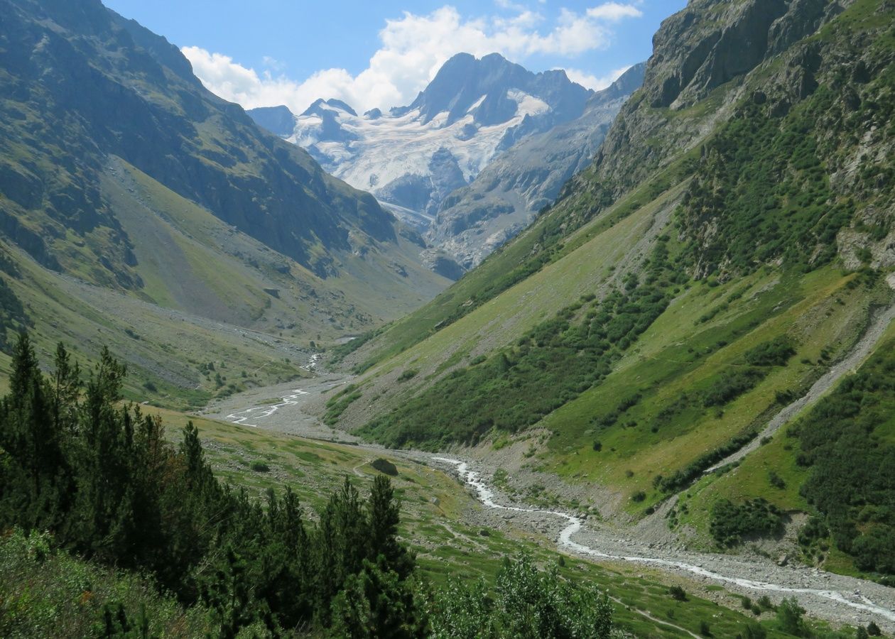
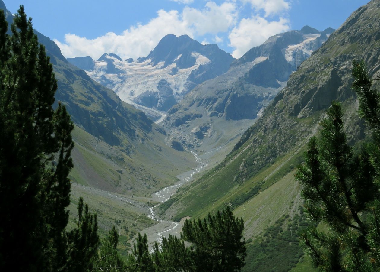
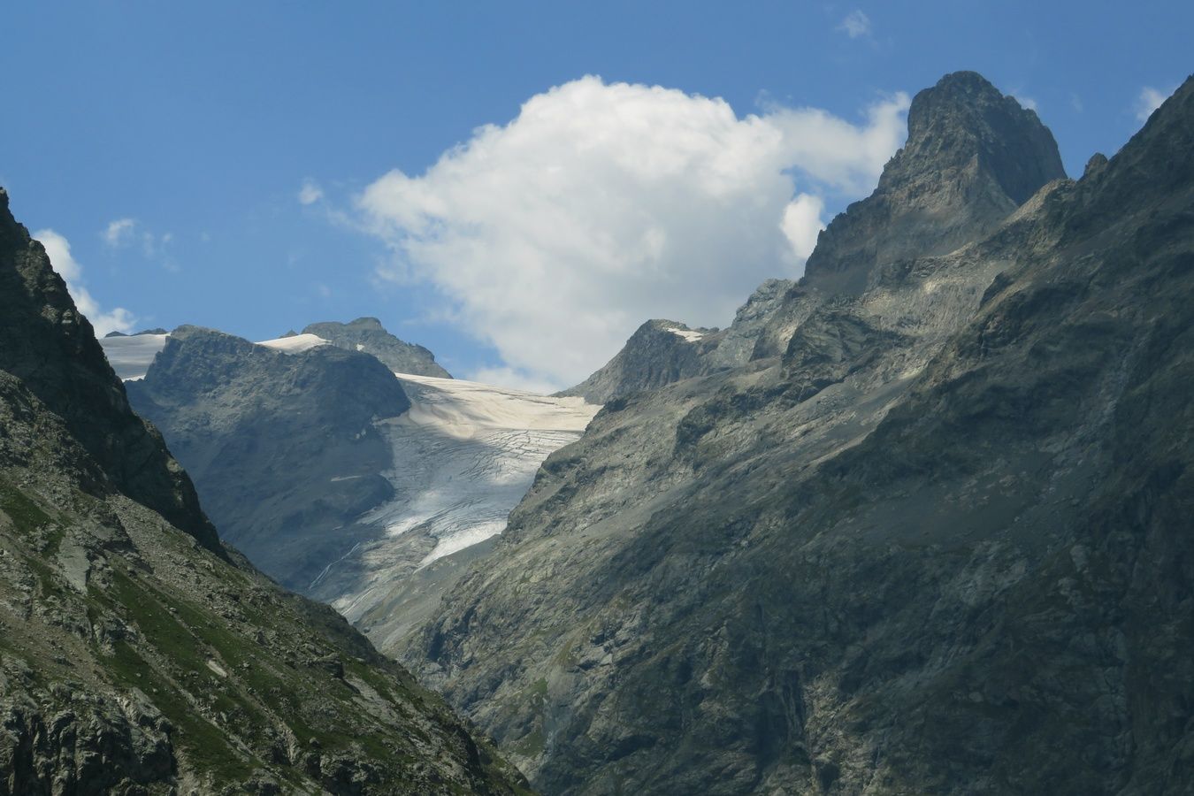
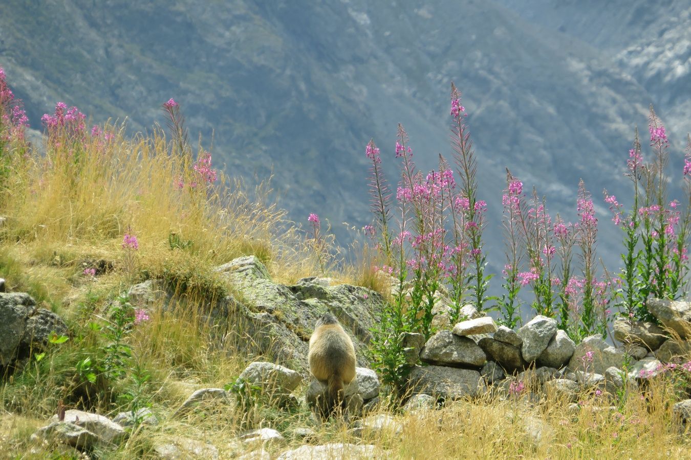
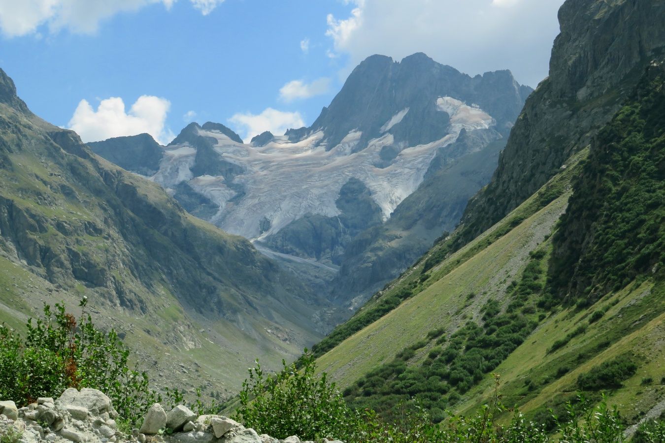
France. Alpes. Département de l'Isère (38). Massif des Écrins. Vallée du Vénéon. Photo prise lors d'une randonnée en aller-retour effectuée en solo, au départ de la Bérarde, jusqu'au Refuge de Temple Écrins. C'était mon 17ème jour de rando sur les 18 jours où j'ai pu randonner lors de notre séjour alpin de 3 semaines pendant l'été 2022.
La photo a été prise en remontant le Vénéon sur sa rive droite, un peu au nord du Refuge du Carrelet.
Cette randonnée s'est déroulée dans un cadre absolument grandiose, foisonnant de sommets de plus de 3000m, dont certains très célèbres. Les 2 sommets que j'ai trouvés les plus photogéniques sont la Tête du Chéret (que j'ai choisie de mettre à l'honneur sur cette photo) et Les Bans (dont le Sommet Sud culmine à 3669m), qui domine le superbe Glacier de la Pilatte, où le Vénéon prend sa source.
Par contre, cette journée fut très éprouvante pour moi physiquement, et cela pour plusieurs raisons. D'abord parce que j'étais diminué par le COVID, avec le dos courbatu. Ensuite parce qu'il faisait chaud. Et enfin parce que la montée finale au Refuge de Temple Écrins était particulièrement raide et éprouvante (450m de dénivelé concentrés sur seulement 2km, soit une pente moyenne de plus de 20%). Mais grâce à la beauté des lieux et avec l'aide d'une boisson énergisante qui donne des ailes, j'ai réussi à monter jusqu'au refuge. Et cerise sur le gâteau, en plus de la magnifique vue panoramique sur le plan incliné du refuge, j'ai eu une 2ème récompense pour mes efforts, en ayant la chance de pouvoir observer une marmotte pendant mon pique-nique, et cela malgré la forte fréquentation des lieux. 🙏
NB : Je ne sais pas si vous voyez ce que je veux dire mais les 2 pentes de devant, le sentier et le cours d'eau forment presque une espèce de X. 😉
Liens vers cette sortie et son album de 65 photos sur le site AltitudeRando :
www.altituderando.com/rando22154
www.altituderando.com/spip.php?page=album-photo&id_ra...
Et voici une sélection de 17 autres coups de cœur de cet album :
www.altituderando.com/IMG/jpg/7/6/5/040-temple-ecrins-22-...
www.altituderando.com/IMG/jpg/c/0/6/040-temple-ecrins-22-...
www.altituderando.com/IMG/jpg/2/6/e/040-temple-ecrins-22-...
www.altituderando.com/IMG/jpg/6/6/2/040-temple-ecrins-22-...
www.altituderando.com/IMG/jpg/c/4/2/040-temple-ecrins-22-...
www.altituderando.com/IMG/jpg/8/9/9/040-temple-ecrins-22-...
www.altituderando.com/IMG/jpg/2/1/d/040-temple-ecrins-22-...
www.altituderando.com/IMG/jpg/6/f/4/040-temple-ecrins-22-...
www.altituderando.com/IMG/jpg/a/0/b/040-temple-ecrins-22-...
www.altituderando.com/IMG/jpg/2/3/d/040-temple-ecrins-22-...
www.altituderando.com/IMG/jpg/1/1/0/040-temple-ecrins-22-...
www.altituderando.com/IMG/jpg/b/7/b/040-temple-ecrins-22-...
www.altituderando.com/IMG/jpg/e/4/b/040-temple-ecrins-22-...
www.altituderando.com/IMG/jpg/e/0/1/040-temple-ecrins-22-...
www.altituderando.com/IMG/jpg/4/2/8/040-temple-ecrins-22-...
www.altituderando.com/IMG/jpg/a/a/0/040-temple-ecrins-22-...
www.altituderando.com/IMG/jpg/2/8/e/040-temple-ecrins-22-...
The Cathedral of Christ the King in Reykjavik, Iceland. It was built in 1929 and became a Basilica in 2000. The Protection of Life Bell is to the right and the Köllun is to the left. The bell had a defect so it was't installed. #Iceland #Reykjavik #CathedralOfChristTheKing #Basilica
In the last of the days light, Freightliner's 90005 & 90047 power the "Fresh Air Express" Crewe Basford Hall - Mossend past Euston on the WCML - 27/02/2023
PRUNETTO, one of the many small villages of the Langa. The town is located on the ridge between the Bormida Valley and the Uzzone Valley and is dominated by the 12th century Del Carretto Castle and the interesting 14th century Sanctuary of the Madonna del Carmine. Piedmont, ITALY.
Op 30 december 2019 was de fraaie 1618 van Captrain onderweg met een beladen LPG-trein als trein 51053 vanuit de Sloehaven. Anno 2023 staat de 1618 in Amersfoort terzijde, rijdt deze trein bij DB Cargo en is de fraaie bomenrij in de achtergrond gekapt.
Monument Valley, Arizona
John Ford Point, popular filming location for westerns, with the table mountain Merrick Butte in the background.
It was a wonderful early morning in Monument Valley. I took the Scenic Loop Drive for the 3rd time, but it was the first time that I visited the John Ford Point - and I think it was worth while - well knowing that my photograph sells more of a wonderful illusion.
Cowgirl in der Wüste
Monument Valley, Arizona
John Ford Point, beliebter Drehort für Western, mit dem Tafelberg Merrick Butte im Hintergrund.
Es war ein wundervoller früher Morgen im Monument Valley. Ich nahm den Scenic Loop Drive zum 3. Mal, aber es war das erste Mal, dass ich den John Ford Point besuchte - und ich denke, es hat sich gelohnt - wohl wissend, dass mein Foto eher eine wunderbare Illusion verkauft.
Calçado and Cristal Peaks covered by fog at the end of the afternoon and without sunset.
We tested the trail to see if it was possible for all of us to climb the peaks at dawn. It was.
We trekked 5.22 km / 3,24 miles in 3:22 hours.
View of the Alaska Range, including Mount Foraker (17,400 ft/5304 m), Mount Hunter/Begguya (14,573 ft/4442 m), and Denali (20,310 feet/6190 m), from Talkeetna, Alaska
Having not had the opportunity to see Denali (the tallest peak in North America) on my previous trip to Alaska, it was high on my wish list for this trip. Unfortunately our helicopter flightseeing tour was canceled due to fog, so my hopes rested on a trip up to the town of Talkeetna. After two days of clouds and snow, the weather was not looking promising; as we drove out of Anchorage, the sky remained gray and occasionally spitting icy flakes.
For much of the drive through miles of snow-covered boreal forest, past small communities and long stretches of nothing but snow and trees (and the occasional moose, which thrilled both my daughter and I), the forest blocked the view toward the mountains. As we turned off the highway toward Talkeetna however, the trees began to thin out and I could catch an occasional glimpse of the the Alaska Range, and what I thought was a hint of blue sky. My hopes rose - perhaps there would be a chance to see Denali after all.
Then the road turned and suddenly, ahead of me I could see it, the glorious Alaska Range, bathed in brilliant sunshine, laying just underneath a thick layer of clouds! My next thought was to hope that the clouds would not descend again before I reached the overlook pullout above Talkeetna. Luck was on my side however, as Denali and the other majestic peaks remained in clear view not only from the overlook but long enough to marvel at an unobstructed view from down in the town. (The snowy foreground here is actually the Talkeetna river, frozen and covered with deep snow.)
It was an absolutely breathtaking sight to witness, and I stood there with a mixture of awe and reverence as the view and the moment soaked deeply into my soul. It is a memory that I will carry with me for a long time.
THROWING ROOTS
In the easternmost parts of the humid forest, the cordillera cypress and the coihue grow together.
However, here, the rock that emerges in these shallow soils where only these cypress specimens resist can be seen.
For me, this is one of the most beautiful places we visited on our tour of the southwest.
Sonnenuntergang am Marlboro Point - Utah
Das ist für mich einer der schönsten Orte, die wir auf unserer Rundreise durch den Südwesten besucht haben
Le massif du Mont Blanc et la Dent du Géant vu du ciel au lever du soleil
Nuages et vent de Foehn qui butent contre le Massif au lever du soleil
Pour info une série de photos prise d'un ulm entre 3800 et 5800m d'altitude
www.flickriver.com/photos/boillon_christophe/ PS Mes photos ne sont pas libres de droits . Pour toute utilisation me contacter par mail
n° siret 522 963 438 00018 - code ape : 9003A
toute reproduction interdite sans mon accord
articles L131-2 & L131-3 du cpi
Civilization has forgotten what indigenous cultures always knew: all living beings have a soul. God doesn’t create disposable life forms.
When I photograph creatures, I tune into their essence & awareness, and share their indifference to what science believes about them.
Reptiles and amphibians obviously don’t know what a camera is, but some can sense when they’re being appreciated and loved. That’s partly why I’m able to get so close.
Odra river covered in morning, autumn fog. In the foreground in the center there is Opatowicki Weir. It connects two islands - the left shore is Opatowicka Island, while the right shore is Wielka Wyspa (The Big Island). On the horizon the city centre buildings can be seen.
_______________________________________________
Photo taken with DJI Mavic 3 using telephoto (161mm f/4.4) lens
✰ Credit ✰
-[ Vagrant ]- - Cecilia Set
eXxEsS - Leather Skirt No.5 - Cosmopolitain
Meva - Reese Boots - Cosmopolitain
NEW ATTITUDE
● Tumblr
● Flickr
hand-made ceramics from the Czech Republic -- cozy on a cold evening
from this artisan: www.instagram.com/keramicky.dvur/
El muelle de mineral de la compañía Riotinto es un muelle-embarcadero comercial del material procedente de las minas de la Compañía Minera Rio Tinto Company Limited. Está situado sobre el río Odiel, en la ciudad de Huelva, España. Es conocido popularmente como el «Muelle de Riotinto» o «Muelle del Tinto» al tomar parte del nombre de la compañía concesionaria. En la actualidad está en desuso pero es visitable como lugar de paseo o de pesca.
La compra de las explotaciones mineras por la Río Tinto Company Limited (RTC) en 1873 y su implantación en Huelva supuso un cambio trascendental para la provincia: activó su desarrollo y especialmente el de su capital, que pasó de ser un pueblo pesquero a convertirse en la capital mundial de la exportación del mineral de cobre, por lo que la necesidad de nuevas infraestructuras propició la ejecución de obras como la presente. El ingente tránsito de materiales desde la cuenca minera de Huelva hasta la capital favoreció la construcción, 16 meses antes, de una línea de ferrocarril de más de 84 kilómetros que terminaba en el puerto de la ciudad.1
Construido entre los años 1874 y 1876 para poder cargar en el puerto de Huelva el mineral extraído de las Minas de Riotinto, situadas al norte de la provincia de Huelva, se encuentra en el extremo suroccidental de la ciudad, al sur del Muelle de Levante, con un total de 1165 metros de longitud en parte sobre el río Odiel (unos 500 metros) y parte sobre tierra. Constituye el punto final del trazado del ferrocarril que desde las minas transportaba el mineral hasta la ciudad. Se construyó sobre terrenos rellenados, en la marisma, por la compañía minera junto al estero de Las Metas y a orillas del río Odiel por los ingenieros ingleses Sir George Barclay Bruce y Thomas Gibson.
Tipológicamente es un ejemplo de arquitectura o ingeniería industrial y, concretamente, un muelle ferroviario de usos múltiples. Su principal utilidad, que justificó su construcción, fue la de ser cargadero de mineral de cobre, y para ello adoptó el avanzado sistema de embarque por gravedad, pero, además, fue muelle de mercancías posibilitando la carga y descarga de las mismas mediante grúas.
It was a beautiful morning at Bryce Point in Bryce Canyon National Park. We were there before sunrise and managed to get a few more stargazing before deciding to take a time lapse video to follow the sunlight slowly filling the canyon and displacing the shadows - an intriguing story. And it's good that I have two cameras - so I was able to take some interesting telephoto shots at the same time. The light was just wonderful and the hoodoos started to glow in the first sunlight...
Es war ein wunderschöner Morgen am Bryce Point im Bryce Canyon National Park. Wir waren vor dem Sonnenaufgang dort und konnten noch ein paar Sternenaufnahmen machen, bevor wir uns entschlossen ein Zeitraffer-Video zu machen, um das Sonnenlicht zu verfolgen, wie es den Canyon langsam füllt und die Schatten verdrängt - eine spannende Geschichte. Und gut, dass ich zwei Kameras habe - so konnte ich parallel noch einige interessante Teleaufnahmen machen. Das Licht war einfach wunderbar und die Hoodoos begannen im ersten Sonnenlicht zu glühen...
Keep out.
Site of an abandoned farm in Northern Ontario
Neebing, Ontario
Panasonic Lumix G 14mm f2.5
Hoya R72 Filter
Olympus OM-D E-M5
Yes, the clouds were that dramatic and dark. The light conditions were changing quickly and constantly.
photo rights reserved by B℮n
The Royal Grand Palace is a complex of buildings at the heart of Bangkok, Thailand. The palace has been the official residence of the Kings of Siam and later Thailand since 1782. It consists of not only royal and throne halls, but also a number of government offices as well as the renowned Temple of the Emerald Buddha. It covers an area of 218,000 square metres and is surrounded by four walls, 1900 metres in length. After King Rama I ascended to the throne in 1782, the palace was built. Prior to this, the royal palace and centre of administration had been located in Thonburi, on the west bank of the Chao Phraya River. For various reasons, the new King considered the former capital to be unsuitable and decided to establish a new capital on the other side of the river. Admission fee is free of charge for Thais and 500 baht for foreigners. You'll need to wear culturally appropriate attire when visiting the Grand Palace in Bangkok. This means being well covered. Visitors should wear long skirts/trousers and sleeved shirts—basically anything that covers more than the lower arms and head. Fortunately, after the covid period, it is not yet busy with tourists. Thailand has just ended their quarantine policy. Face masks are no longer mandatory. Great to visit the Grand Palace one more time now and see the Prasat Phra Thep Bidorn, a corncob-shaped tower, called a prang, and Phra Mondop Library with green and blue mirrored tiles, on the upper terrace of Wat Phra Kaew.
The Royal Pantheon is located on the east side of the upper terrace near the Temple of the Emerald Buddha. In 1782, King Rama I founded the Chakri dynasty in Bangkok. This building with a corncob-shaped tower (called a prang) also called Prasat Phra Thep Bidorn. It is only open to the public on Chakri Day, which is celebrated on April 6. Next to the Royal Pantheon is the gilded Phra Mondop Library Phra Mondop. The monuments of the Royal insignia are four monuments containing the nine insignia of the kings of the Chakri dynasty. In 1882, on the centenary of Bangkok's founding, Rama V ordered the construction of three monuments in the shape of a butsabok throne to house images of previous kings' insignia. These insignia were based on the personal seals of the kings. A fourth was later added to house later kings. They surround the Phra Mondop on every corner. Each of the golden butsabok thrones is built on raised marble pedestals, on each side with inscriptions describing each king's contribution to the construction or repair of the temple itself. On each of the corners are two miniature gold multi-tiered umbrellas: the four on the top floor have seven tiers, and those on the bottom floor have five tiers. Around the monuments are bronze miniature elephants; these represent the white elephants that are important in the reign of every king.
De Royal Grand Palace is een gebouwencomplex in het hart van Bangkok, Thailand. Het paleis is sinds 1782 de officiële residentie van de koningen van Siam en later Thailand. Het bestaat niet alleen uit koninklijke en troonzalen, maar ook uit een aantal regeringsgebouwen en de beroemde Tempel van de groene Smaragd Boeddha. Het heeft een oppervlakte van 218.000 vierkante meter en is omgeven door vier muren van 1900 meter lang. Nadat koning Rama I in 1782 de troon besteeg, werd het paleis gebouwd. Daarvoor was het koninklijk paleis en het bestuurscentrum gevestigd in Thonburi, op de westelijke oever van de Chao Phraya-rivier. Om verschillende redenen vond de nieuwe koning de voormalige hoofdstad ongeschikt en besloot hij een nieuwe hoofdstad te stichten aan de andere kant van de rivier. De toegangsprijs is gratis voor Thais en 500 baht voor buitenlanders. In april 1981 gebruikte de plaatsvervangend commandant van het Thaise leger, generaal San Chitpatima, het paleis als zijn hoofdkwartier voor een poging tot staatsgreep tegen premier Prem. De staatsgreep mislukte mede door ingrijpen koning Bhumibol. Een paar uur later ontmoette generaal Prem echter koning Bhumibol in zijn paleis in Bangkok en de koninklijke familie en de premier vloog naar een legerbasis in Noordoost-Thailand. Premier Prem kondigde op de radio aan dat hij niet was afgetreden. Het Thaise leger trok zich weer terug uit het paleis. Gelukkig is het na de covid periode nog niet druk met toeristen. Thailand heeft zojuist hun quarantainebeleid beëindigd. Mondkapjes zijn niet meer verplicht. Geweldig om het Grand Palace nu nog een keer te bezoeken. Het Koninklijk Pantheon in het Grand Palace met een maïskolfvormige toren een prang genoemd bevindt zich aan de oostkant van het bovenste terras bij de tempel van de smaragdgroene Boeddha. In 1782 stichtte koning Rama I, de Chakri-dynastie in Bangkok. Dit gebouw, ook wel Prasat Phra Thep Bidorn genoemd, Het is alleen open voor het publiek op Chakri-dag, die op 6 april wordt gevierd. Naast deze sprang staat de vergulde Phra Mondop-bibliotheek. De Phra Mondop is versierd met 16 zuilen plus groene en blauwe spiegeltegels met kleine gouden beeldhouwwerk van Boeddha. Het is de belangrijkste bibliotheek voor de boeddhisten in het Grand Palace.
Follow me on Instagram I Twitter
My website www.davidgutierrez.co.uk
The art of "floating on a cloud" - Thames Barrier, London, UK