View allAll Photos Tagged maps!
Map background courtesy of:
site.geoarm.com/states/tennessee.jpg
------------------------------------------------------------------------------------------
If you would like to use THIS picture in any sort of media elsewhere (such as newspaper or article), please send me a Flickrmail or send me an email at natehenderson6@gmail.com.
For our wedding anniversary a couple of weeks ago, Paula and I agreed to buy each other a framed map for the sun room which we have just redecorated.
both maps now up on the wall.
This is Paula's present to me (Geological map of Ireland based on the 1962 geological survey)
Shonen Knife - A Map Master
The Map Room (LR5 Treated)
"Liberty Ship" STX1
The Last WWII Liberty Ship in Greece
I am a son of a retired merchant marine captain. My father started his career in 1965 and one of the first ships he embarked was a Liberty type....
Read more:
digitalfilmrevolution.wordpress.com/2014/12/22/hellas-lib...
Quilt has1600 squares, modern fabrics, quilted on the diagonal
Each subway line is a different color; the black squares are the stops.
Down to 11 stores when compared to 18 in last November:
www.flickr.com/photos/walmart3/30861093446/
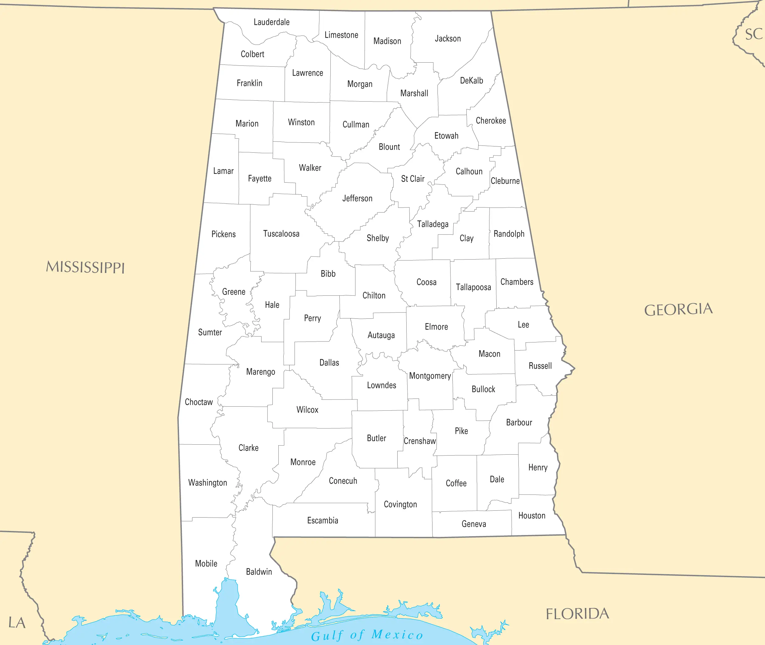
Map background courtesy of:
mapsof.net/uploads/static-maps/kentucky_county_map.png
------------------------------------------------------------------------------------------
If you would like to use THIS picture in any sort of media elsewhere (such as newspaper or article), please send me a Flickrmail or send me an email at natehenderson6@gmail.com.
Maps of racial and ethnic divisions in US cities, inspired by Bill Rankin's map of Chicago, updated for Census 2010.
Red is White, Blue is Black, Green is Asian, Orange is Hispanic, Yellow is Other, and each dot is 25 residents.
Data from Census 2010. Base map © OpenStreetMap, CC-BY-SA
I hate being lost. Now, let me tell you that if you dropped me off in most countries with a few coins in my pocket... I would have a blast. That is an adventure....... but not lost.
I hate not knowing what is coming and feeling lost. I hate making grown up decitions. I hate, really, being a grown up. It doesn't have as may purks as your parents let you beleive.
I wish adulthood and mothehood came with a map. That I would use.
A lot of you know I love a map, and if it's in bright colour with attractive illustrations it's even more appealing! This was on one of the old walls between the harbour and old town.
Filmoteca Nacional de España. Archivo Histórico rtve..
ESTADO ACTUAL: www.google.com/maps/@40.6551731,-4.7014949,3a,90y,288.25h...
fOTOS ANTIGUAS: www.flickr.com/photos/avilas/7622185074/in/photolist-Gxxa...
MUSEO EN ÁVILA
Actualmente este palacio de Superunda, que fue vivienda y estudio del pintor en Ávila, se ha convertido en su museo, albergando también obras de su espaosa, Laura de la Torre, y de su hijo, el escultor Oscar Caprotti: museoscastillayleon.jcyl.es/web/jcyl/MuseosCastillayLeon/...
Published by Golden Books from 1961 to 1965, this is one of four books in a slip-cover set designed to excite families about the joys that awaited them in the World of Walt Disney.
The books included: Fantasyland, Nature, America, and Stories from Other Lands. I found this copy of the Fantasyland book for $4 at my Friends of the Library Bookstore. Boxed sets on eBay run about $30 on the lower end.
I like the old-school feel of the illustrations--this is the Disney I grew up with.
Map of stations equipped with OMNY readers in June 2020 (including nine stations to be activated after June 4).
Map background courtesy of: puserscontentstorage.blob.core.windows.net/userimages/f82...
------------------------------------------------------------------------------------------
If you would like to use THIS picture in any sort of media elsewhere (such as newspaper or article), please send me a Flickrmail or send me an email at natehenderson6@gmail.com.
20 stores left.
Map background courtesy of:
mapsof.net/uploads/static-maps/north_carolina_county_map.png
The first known map to include the name "AMERICA" for lands in the western hemisphere. (bottom left) —before they understood the extension of the American Continents.
I'd never noticed this cool map of Greenwich Village on a wall on West 4th Street. The good thing is, if you're lost it's so small....just keep walking.....
I saw this butterfly just one time in my nature reserve, in the beginning of July. I suppose it was just born and is normally being eaten by birds. I think I was just in time to see it? Up till now I only saw it at other places in the Netherlands.
Landkaartje (zomervorm)/Araschnia levana/map (summer brood). Solleveld, The Hague, 3 July 2018.