View allAll Photos Tagged Maps
Sheet 4 covers Joseph, Spring, King, and Queen Streets and Dufferin, Lorne and Victoria Avenues.
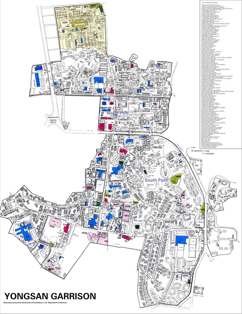
Map loaned for scanning by Quinte West Public Library in December 2021.
Found a map of Africa on the road. I have added the country names for any budding explorers out there.
I also seem to have renamed Algeria.
April 13 104/366
Couldn't think of anything else to shoot today, there was a map lying around so I got out a compass and took a few shots. Yeah another cop out shot day, lol.
Early planning map for BART lines and stations. Note route along Adeline and San Pablo instead of Grove-Shafter Freeway.
This map is in the public domain and I downloaded if from Wikipedia. There are notes on this map.
Best seen LARGE (click on link).
If you choose original above you can see a great deal of detail but you will have to scroll to see it all. Flickr will not let me insert that link for some reason.
See at Wikipedia
Ushahidi platform for the 2011 Japan earthquake in March 11th. The red dots show the number of logged messages, informations and requests. THe open source mapping intends to help by enabling to log info directly from the grond.
Locations of all community gardens in north and central Brooklyn. Community gardens are light green, Parks are dark green; cemeteries are greenish-yellow.
Compare with Brooklyn Community Gardens.
Source: OASIS Mapping Service
Author: OSS
Scale: not given
LOC call no.: G6081.M5 1944.U5
more information available from Penn State University; Donald W. Hamer Maps Library
Gender gap
25 maps that show how Sweden is unique: Read more here www.kullin.net/2014/01/25-maps-that-show-how-sweden-is-un...
Pyrrho
Government: Parliamentary Democracy
Last Known Ruler: Prime Minister Dauntelle Illeve
Land Area: (approx.) 309,000 square miles (158,000 sq. misons); Earth comparison: about the size of Oman
Geography and Climate: Pyrrho is a single island with no satellites whatsoever. It rises from some of the deepest waters known on Aquanus, and its land varies from lowland tropical forests to flat grasslands and rolling hills to arid, dry mountains. Temperature averages vary widely from area to area.
Highest Point: Mt. Lucreau 18,999 ft. (2.57 misons)
Eternitudes/Infinitudes (rough) With Respect to the Center of Aquanus: .1.03 to +1.35S; .1.67 to +2.05W
Capital City: Galbereo, est. pre-invasion popuation: 1.05 million
Best Known For: Politics, Galbereo (the largest city on Aquanus), business acumen, ships and shipbuilding, music, culture
Interesting Fact: The only known survivor to have sailed the Bay of Whoops to the Edge and return wasn’t a Zephyr, but a Pyrrhonian.
Way back in 2012 yateleyart and Mrs yateleyart spent a few days in Korcula on the the Croatian island of the same name.
yateleyart likes doodling maps and on this occasion he doodled a map of the island in the visitors' book in the house where they stayed.
That was 2012. yateleyart and Mrs yateleyart forgot all about it . . . .
Planned Metro rail service for Columbus Day weekend 2010 (Oct 8-11).
There will be no Orange or Blue Line service at Metro Center, McPherson Square, or Farragut West.
Shuttle buses will be provided.
Deatil of the pattern around the eye of the puffer fish.
My new book on photography needs a good publisher!
Map of the dollar value of U.S. Department of Agriculture (USDA) Foods purchased in FY 2014; icons represent the states that are the largest sources of a particular type of USDA Foods.
South Park seems like a strange choice to include here, as distant as it is from the rapid transit lines.
From San Francisco Department of City Planning and Redevelopment Agency Rapid Transit Corridor Study
PEC, working with the Fauquier Trails Coalition, has created maps of the trails in each of the County's Service Districts.
Map giving a rough indication of the Essex coast as it may have been around 6,000 BC from www.finestprospect.org.uk/Palaeo-Meso/Palaeo-meso.htm.