View allAll Photos Tagged map
Spot some interesting things, including:
- Central Line in the west only as far as Greenford.
- Ditto in the east only as far as Woodford and Newbury Park - the rest of the old Great Eastern Railway branch lines were yet to be opened as part of the Underground.
- The Metropolitan and District Lines shown as one.
- The Met going beyond Amersham to Aylesbury.
- The District Line going to Hounslow West (actually it got there before the Piccadilly).
- The South Acton branch from Acton Town.
- The proposed Northern Line extensions that never got built.
- Walham Green on the District Line branch to Wimbledon - now Fulham Broadway.
- The 'Outer Circle' via Kensinton Olympia - ‘temporarily closed’ by the look of it. And still closed over 70 years later.
- And more...
East Anglia Transport Museum, Carlton Colville near Lowestoft, Suffolk.
Map section reproduced with permission of UBD-Gregory's. Copyright Universal Publishers Pty Ltd DD 02/15
It is thought that this map was produced around 1959.
31a Adelaide Road BT & LM Robinson Newsagents
35 Adelaide Road B P Eighth Street Motors
Online guide to various Switzerland Maps www.mapsofworld.com/switzerland/
like location map, outline map, political & river map of Switzerland.
Điểm thi nèeeeeee :">
Văn: 9.0 - Hai học kì đều được 9 :x
Hóa: 10 - Cũng 2 học kì luôn đều 10 =))) \:d/
Toán: 7.8 - Xuống tệ.. :-s Lúc tr 9.5 lận
Lý: 8.8 - Sinh: 9.5 - Sử: 9.0 - Địa: 9.0 - Anh: 6.3 - Nhạc: 9.5
Tin: 9.0 - Họa: 9.0 -C.Nghệ: 10 -C.Dân: 10 - Trung bình cả năm: 8.5
The notes on this map shows the three pedestrian/cycle crossings of the railway south of Three Bridges station. Currently the best route is closed.
This is a map of the neighborhood’s phone, cable, and power lines. We did a lot of walking and looking to make this map.
Map of the Indian Sub-continent showing native Kingdoms before there annexation by the British Empire.
this is a map i drew for my wedding in august-- it's for out of town people, so they know how to get where they need to go!
Map background courtesy of:
mapsof.net/uploads/static-maps/pennsylvania_cities_and_to...
------------------------------------------------------------------------------------------
If you would like to use THIS picture in any sort of media elsewhere (such as newspaper or article), please send me a Flickrmail or send me an email at natehenderson6@gmail.com.
by Charles H Ashdown
Key to numbers on map: -
1 The Gallows
2 Bow Gate and Stone Cross
3 The "Cricketers" Inn
4 Borogate
5 Luton Lane
6 St Peter's Green
7 Townsend Farm
8 St Peters Cross
9 Old Workhouse
10 The "Cock" Inn
11 Cock Lane
12 Manor House of Newland Squilliers
13 Gombards
14 Bleak House
15 The Doble Stage Hostelry
16 The Lamb Hostelry
17 Fish Shambles
18 The Mansion
19 The Bull Ring
20 The "Castle" Hostelry
21 Shropshire Lane (Sweetbriar Lane)
22 Postern (The Man Gate)
23 Long Butts Field
24 Levye Lands
25 French Row
26 The "Great Red Lion" Inn
27 The "Fluer de Lys" Inn
28 The "Old Christopher" Inn
29 Moot Hall
30 Wheat Cheaping
31 Corn Exchange
32 Pudding Lane
33 Boot Alley
34 Clock Tower
35 St Stephens Hill
36 Eyewood Lane
37 Bridge Over The River Ver
38 Holywell House
39 The Holy Well
40 Ivy House
41 Torrington House
42 "Oldest" London Road, In Bing's Orchard
43 The "White Hart" Tap
44 The "White Lion" Inn
45 Green School
46 The "Hare and Hounds" Inn
47 The Cotton Mills
48 The "Crown" Inn
49 The "Post Boy" Inn
50 The "Trumpet" Inn
51 The "Bull " Inn
52 The "White Hart" Inn
53 Old Rectory
54 Swanbourne Tenement
55 The "Two Brewers" Inn
56 The "Sacacen's Head" Hostelry
57 Row Of Ancient Hostelries
58 The "Old Wool Pack" inn
59 The "Peahen" Hotel
60 The "Chequers" Hostelry
61 The "Key" Hostelry
62 Malt Cheaping
63 The "Red House" Inn
64 The Eleanor Cross
65 The Vintry
66 School Lane
67 The Cage
68 The "George" Inn
69 The Henry (Corner Halle)
70 The "Vine" Inn
71 Collegium Insanorum
72 The "Verulam Arms" Inn
73 Great Gateway of the Monerstry
74 Bone Gate
75 Medieval Grammar School
76 Horckerhulle
77 Hydes Close
78 The Pound
79 Blue Row
80 The Birchery
81 Gonnerston ("Black Lion" Inn)
82 St Michael's Mills
83 Kingsbury Lane
84 Clat Pits Lane
85 Black Cross
86 The "Queen" Inn
87 The "Crow" Inn
88 Godmersham House
While exploring my archive I've stumbled on this map of Amman, it was published by "International Media Services", as you see their credentials at the map footer.
It's really a strange thing to find! I don't recall how it came into my archive.. it's like seeing a visualised memory directly in my hands. Anway, the map is really interesting, it shows you the brands, shops, venues and landmarks of Amman two decades ago, I'm sure many of us still remembering few parts of this map, the map of a vivid city who changed a lot.
The map, obviously, was drawn by hand, the artist who done that used some weird orientations, so you find Rainbow street is west of Al-Husseini Mosque and they share the same horizontal level, then you keep going west until you reach Abdoun, a few steps after Abdoun you find yourself in the Queen Alia Airport! Funny..
However, the artist made a good effort to draw the building's facade, I was impressed to see some iconic buildings of Amman drawn in a nice way, it seems like someone did a big research for photos and logos, and delivered them to the artist's hands.
Many brands in this map have been extinct, and many are still surviving, but it still Amman that we love!
This map has links to places where we took photos.
The map is best viewed in either large or original format.
Map source, Wikipedia, map author Eric Gaba – Wikimedia Commons user: Sting.
Map background courtesy of:
mapsof.net/uploads/static-maps/maryland_county_map.png
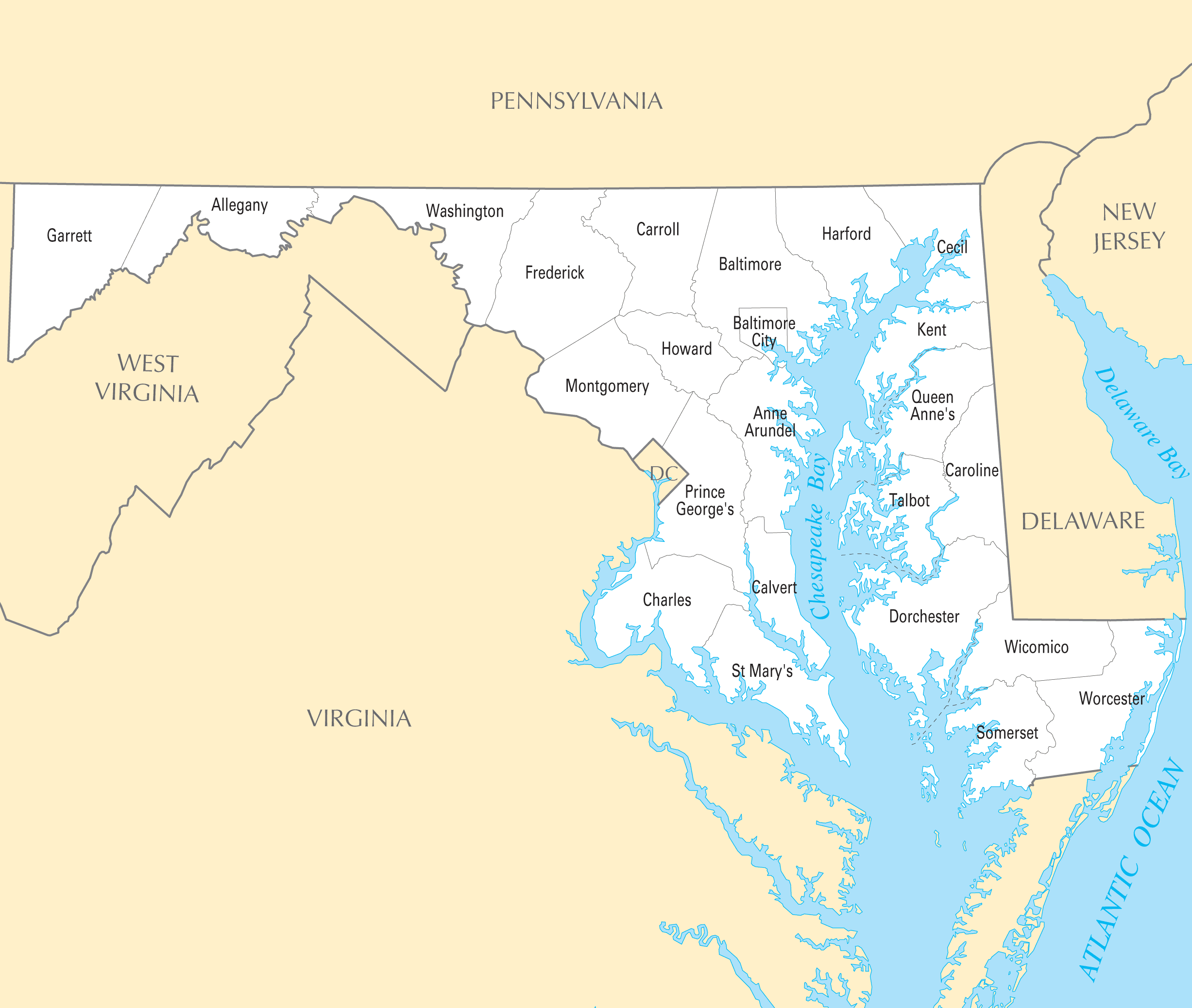
------------------------------------------------------------------------------------------
If you would like to use THIS picture in any sort of media elsewhere (such as newspaper or article), please send me a Flickrmail or send me an email at natehenderson6@gmail.com.
with thanks to www.midlandrailwaystudycentre.org.uk/contents.htm
The railway was an East West link of 183 miles and 20 chains between Yarmouth, Norwich and Peterborough with its works at the four way crossing at Melton Constable. 2 sections survive in use: the Cromer to Sheringham section of the national network and Sheringham to Holt (almost) as a preserved steam operated line.