View allAll Photos Tagged :
© all rights reserved by B℮n
Please take your time... to View it large on black
Ransdorp is a village in the Dutch province of North Holland. Rural but in the near vicinity of Amsterdam. The one and only street is the Dorpsweg shown here above from left to right taken from the 32 meter high church tower. A little village with only 245 inhabitants. The municipality of Waterland consists of the following villages: Broek in Waterland, Zunderdorp, Ransdorp, Ilpendam, Katwoude, Marken, Monnickendam, Holysloot, Uitdam, Watergang en Zuiderwoude. Cycling through the flat Dutch polder landscape with its old farmsteads and expansive fields is something the Dutch really like doing too. Through Het Land van Leeghwater, for example, with winding dikes, wonderful views and pyramidal stolpboerderijen traditional Dutch farmhouses with a pyramidal roof. For centuries the residents of this area battled against the water. Nowadays for the most part we can enjoy it. Het Land van Leeghwater largely consists of polder land, land below the sea level. Building and residing here are only possible thanks to the dikes and artificially keeping the water level low. This used to be done with hundreds of windmills, but today it is done using advanced pumping stations. With its ditches, canals, pastures and locks, the landscape has been excavated and rebuilt over the course of more than 1,000 years. Locks, roads and pastures were constructed in accordance with rigidly straight geometric principles and pretty much none of this has changed since the Golden Age.
The church of Ransdorp rises high above the landscape of Waterland. The tower is open during the summer months. The wooden houses are typical in thisarea: because they are lighter than stone houses, they sink less quickly away in the soft peat soil. This wonderful area has dozens of walking and cycle routes marked out. Even sailing trips with a silent electric boat or canoe can be recommended. Tip: a suitable starting point for your bicycle or boat trip is the picturesque village of Broek in Waterland. The name says it all – here there are more waterways than roads. Nearby are the villages of Holysloot, Ransdorp and Durgerdam.
Ransdorp is een landelijk dorp in het dunbevolkte Waterland ten noorden van Amsterdam Noord. Het dorp telt enkele rijksmonumenten en heeft een beschermd dorpsgezicht. Het is vooral bekend vanwege de stompe toren van de kerk. De kerk van Ransdorp steekt hoog uit boven het landschap van Waterland. In de zomermaanden is de toren te bezichtigen. De toren van Ransdorp is 32 meter hoog en werd gebouwd tussen 1502 en 1542. Ransdorp was tot 1921 een zelfstandige gemeente. Tijdens de watersnood van 1916 hadden de dorpen rondom Ransdorp veel schade opgelopen. De dorpen waren niet in staat deze uit eigen middelen te herstellen, daarom liet men zich in 1921 vrijwillig annexeren door Amsterdam. Voorwaarde was echter wel dat Amsterdam zou zorgen voor een goede infrastructuur. De watersnood van 1916 was niet de eerste die Ransdorp en de omgeving trof - vooralsnog wel de laatste dankzij de Afsluitdijk. Waterland kent al sinds de Sint-Elisabethsvloed uit de 15e eeuw een lange geschiedenis van overstromingen. In 1916 was het bijna een eeuw geleden dat het gebied door een watersnood getroffen werd. Ondanks de omdijking bleef Waterland een nat en drassig gebied waar akkerbouw niet meer mogelijk was, zodat de boeren zich toelegden op veeteelt. Door de dagelijkse productie van zuivelproducten en het ontbreken van een eigen voorraad graanproducten zoals meel ontstond een levendige handel die bijdroeg aan de ontwikkeling van de markten in plaatsen als Edam, Monnickendam en Purmerend. De houten huizen zijn karakteristiek voor het gebied: doordat ze lichter zijn dan huizen van steen, zakken ze minder snel weg in de slappe veenbodem. Niet alleen overstromingen teisterden Ransdorp. Tijdens de Tachtigjarige oorlog werd Ransdorp verwoest door zowel de Spanjaarden als de Geuzen. De Geuzenleider Diederik Sonoy voerde er als vertegenwoordiger van Willem van Oranje, een waar schrikbewind tegen de katholieken. In november 1572 werden te Ransdorp de Martelaren van Ransdorp, franciscaner broeders, opgehangen na marteling. Voordien was Ransdorp een welvarende middelgrote plaats, waar veel zeelieden woonden. Na de verwoestingen zochten echter veel inwoners hun toevlucht in Amsterdam. Van het oude Ransdorp. is slechts de kerktoren overgebleven. Het landschap Waterland is het veenweidelandschap tussen Amsterdam, Zaandam en Hoorn met daarin polders en natuurreservaten. Je kunt er volop wandelen, fietsen en varen in een unieke omgeving van weilanden, dijken, waterlopen, rietkragen, stolpboerderijen en eeuwenoude Zuiderzeestadjes.
© all rights reserved by B℮n
Please take your time... to View it large on black
The Marnixstraat is a street in Amsterdam, located along the western border of the Jordaan district in the center. The Marnixkade, parallel to the Marnixstraat, on the eastern bank of the Singel canal opposite the Nassaukade. The Eerste Marnixdwarsstraat above is located between Marnixstraat and Marnixkade. The street was named in 1872 to Filips van Marnix 1540 to 1598. The previous street, name was the Schans. The Canta are little red handicapped cars that are so normal in our streets, we don't even see them anymore. Just like we don't notice the Graffiti anymore. Graffiti is from the Italian word graffiato scratched. Graffiti is applied in art history to works of art produced by scratching a design into a surface. The term, graffiti, referred to the inscriptions, figure drawings, and such, found on the walls of ancient sepulchers or ruins, as in the Catacombs of Rome or at Pompeii. Use of the word has evolved to include any graphics applied to surfaces in a manner that constitutes vandalism. The Romans Classic also wrote on their walls and monuments. These were mostly political statements and announcements of gladiatorial games. It was not only the Greeks and Romans who produced graffiti: the Mayan site of Tikal in Guatemala also contains ancient examples. Viking graffiti survive in Rome. I think the graffiti above is probably not Vikings, perhaps a swedish kitchen cabinet from Ikea?
Photo inspired by my friend Mr. Akbar. He's a street art photographer with more than 10.000 photos. He doesn't make the graffiti himself but takes photos of it. Have a visit to his stream and just look and enjoy graffiti or hate them.
De Marnixstraat is een straat in Amsterdam, langs de westelijke grens van de Jordaan in stadsdeel Centrum.De Marnixkade ligt, parallel aan de Marnixstraat, op de oostelijke oever van de Singelgracht tegenover de Nassaukade. De Eerste Marnixdwarsstraat hierboven ligt tussen de Marnixstraat en de Marnixkade. De straat werd in 1872 vernoemd naar Filips van Marnix 1540-1598, heer van Sint Aldegonde. De straat, die voordien de Schans heette, werd na 1850 aangelegd op de plaats van de tussen 1820 en 1840 geslechte stadswallen. Het gedeelte van de Schans tussen Leidseplein en Frederiksplein werd in 1872 Weteringschans genoemd en het gedeelte tussen Frederiksplein en Nieuwe Vaart werd de Sarphatistraat. De Canta's zijn die vaak rode gehandicaptenwagentjes die zo normaal zijn in ons straatbeeld, dat je ze niet eens meer ziet. De Graffiti valt ons ook niet eens meer op. Het woord graffiti betekent ingekraste tekeningen en is de meervoudsvorm van het Italiaanse woord graffito, verwant aan graffio schram. Graffiti zijn van alle tijden. Er is zelfs een spreekwoord over: gekken en dwazen schrijven hun namen op muren en glazen. Het volk van de Vandalen was bekend om zijn graffiti. De Romeinen uit de klassieke oudheid schreven ook op hun muren en monumenten. Dit waren vooral politieke uitspraken en aankondigingen van gladiatorenspelen, bijvoorbeeld in Pompei. In Rome zijn er graffiti gevonden die de Vikingen daar hebben aangebracht. De Cro-magnonmens maakten tekeningen in rotsen. Ook de Egyptenaren stonden bekend om hun graffiti, de hiërogliefen. De graffiti hierboven is waarschijnlijk niet van Vikingen, misschien een zweeds kastje van Ikea?
© 2013 Frank van Dongen
FB | 500px | FLICKEFLU | WERKAANDEMUUR | My Website | Getty Images
++++++++++++++++++++++++++++++++++++++++++++++++++++++
… of 49 Amiens Street! Could not believe my good luck when I spotted these two ice cream carts alongside the statue of Thomas Moore on the corner of College and Westmoreland Streets. If I haven't said it often enough before, Huzzah! for Robert French...
Photographer: Almost certainly Robert French of Lawrence Photographic Studios, Dublin
Date: Circa 1910??
NLI Ref.: L_ROY_04717
The clouds cleared out just in time for this long-exposure nightscape image taken during one of my night photography workshops in Arches National Park. And with no moonlight, just a little reflected light pollution from the little town of Moab, Utah, the lighting was amazing! So with swirling milky way skies over the Three Gossips (on the left), we set up for a some great long-exposure images...
There is a lot more to this post...
See the rest and get free wallpaper from www.coloradocaptures.com/milky-way-swirls-over-arches-par...
_________________________________________________________________
Official Website | Night Photography Training | Learning Center Blog | Google+ | Facebook | FAA
Deeplinks : 1 - 2 - 3 - 4 - 5 - 6 - 7 - 8 - 9 - 10



------------------------------------
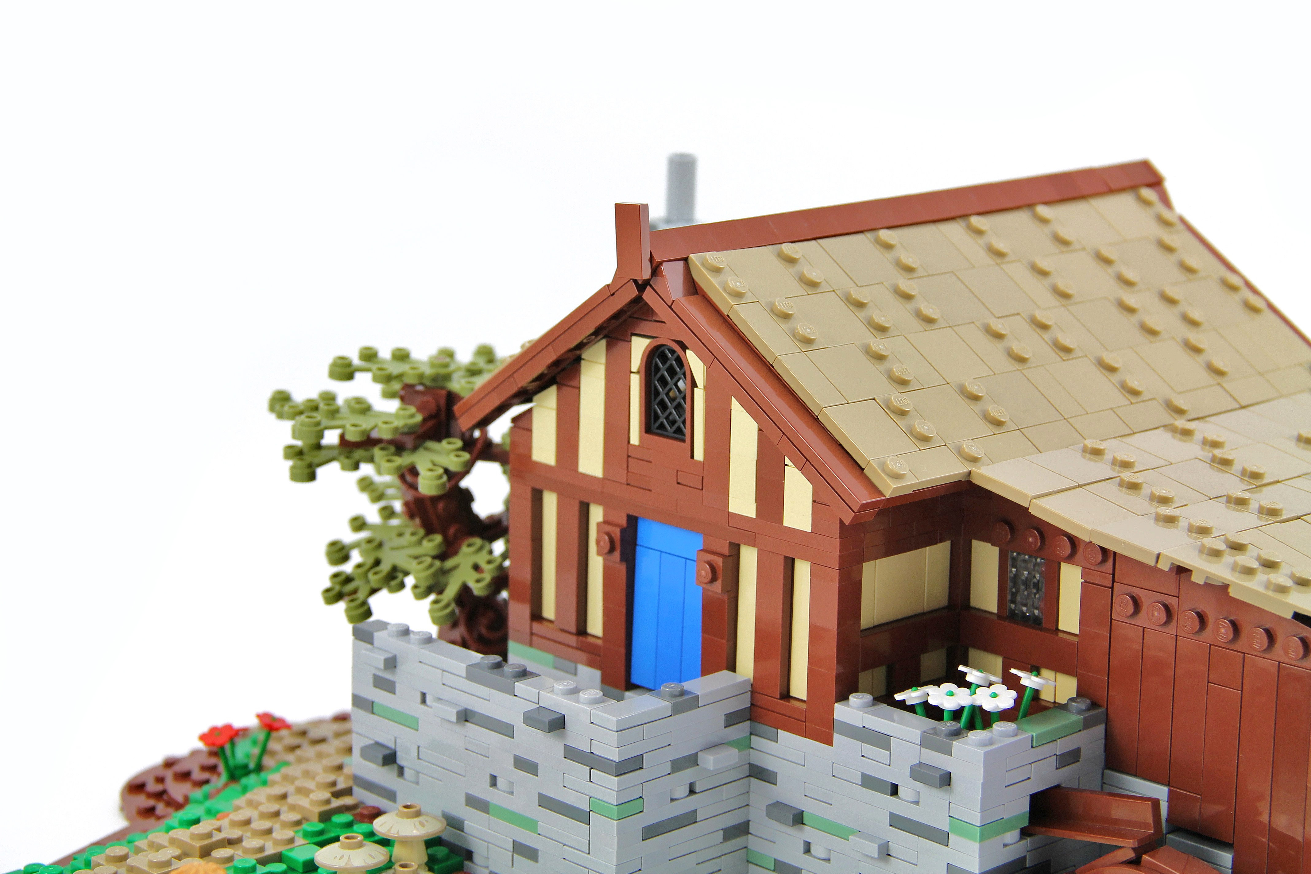
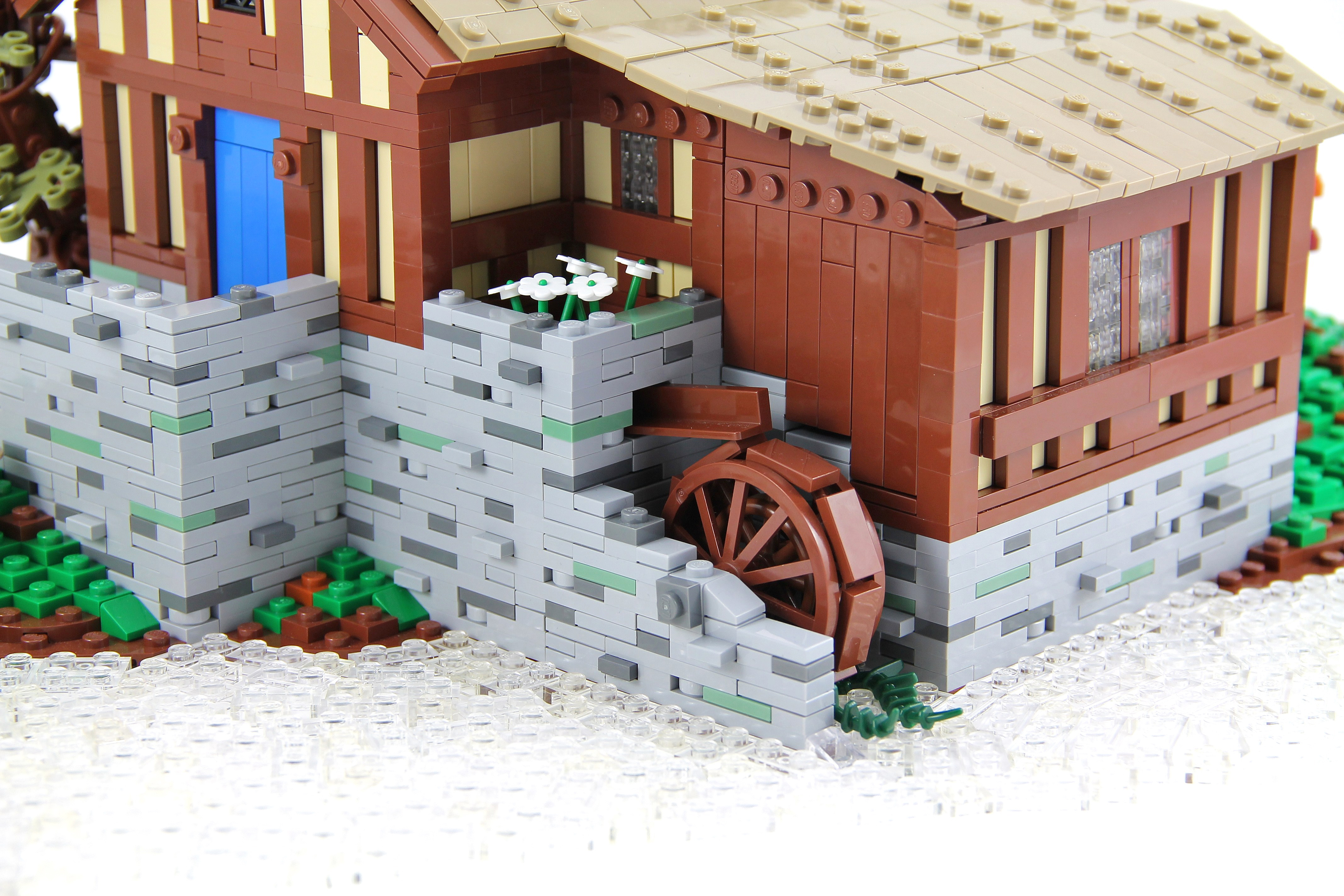
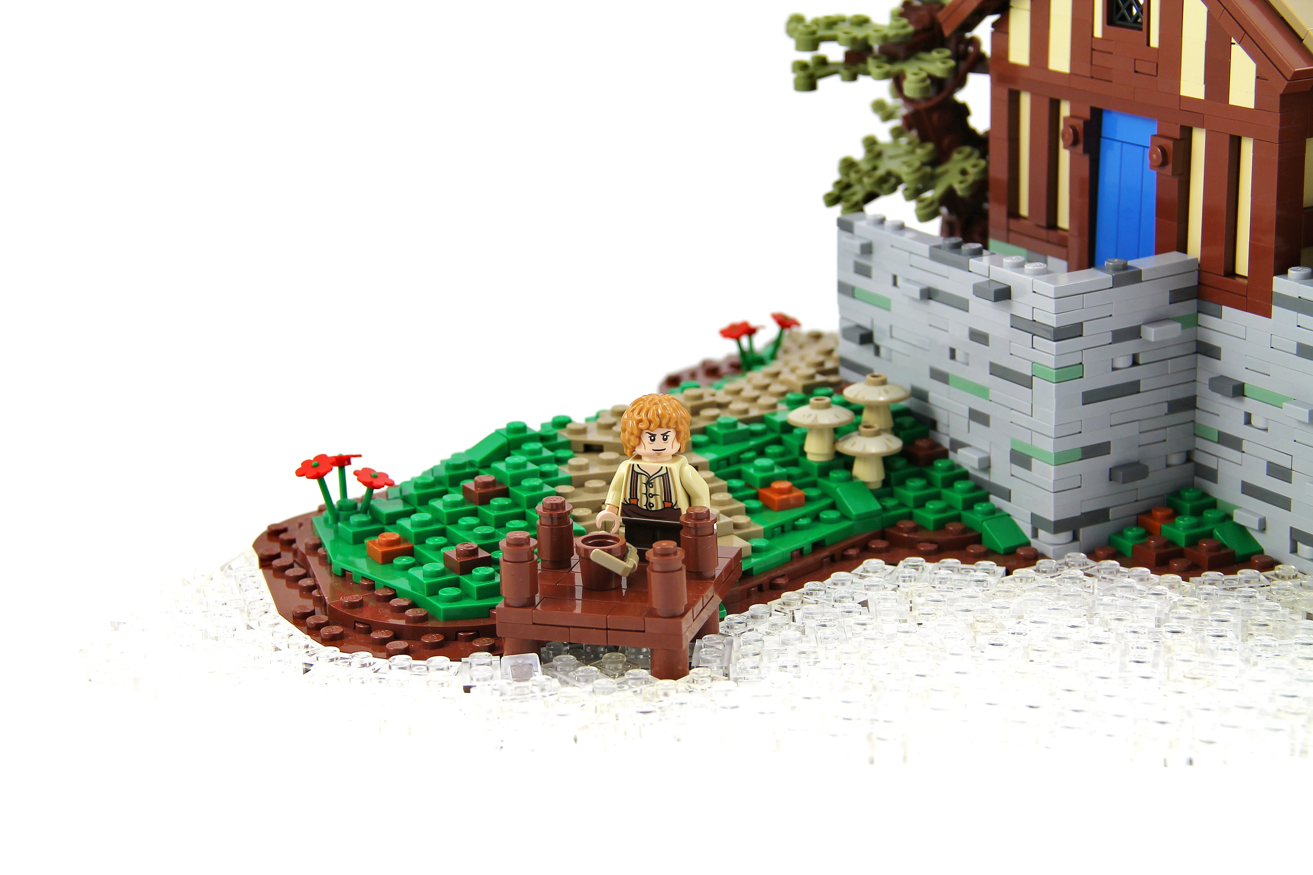
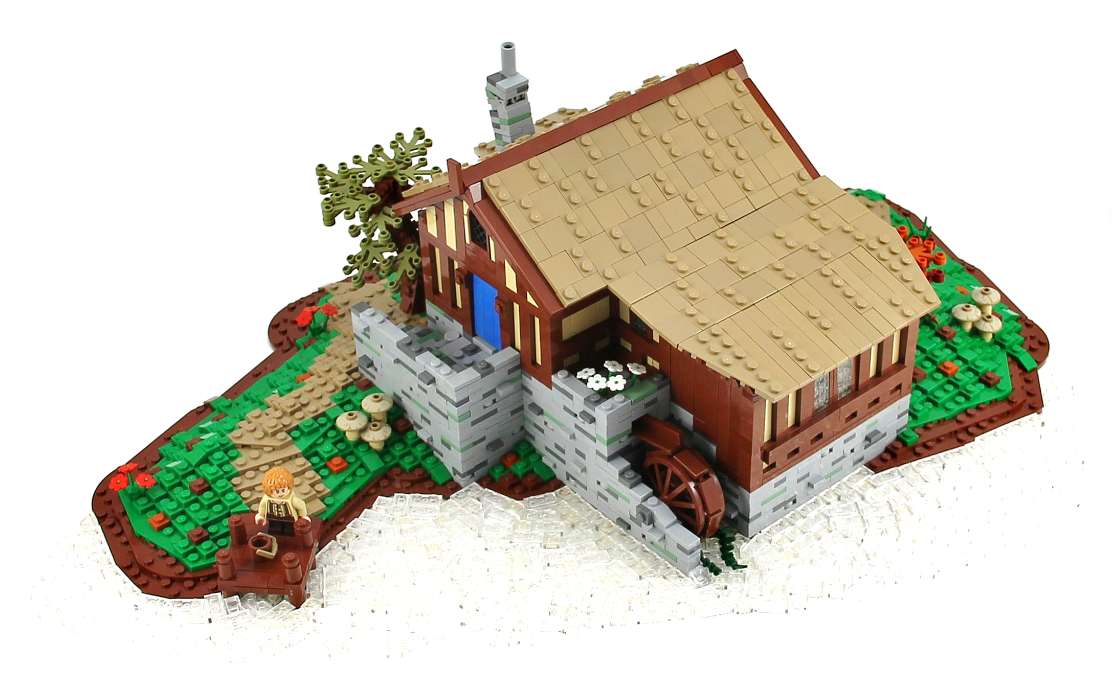
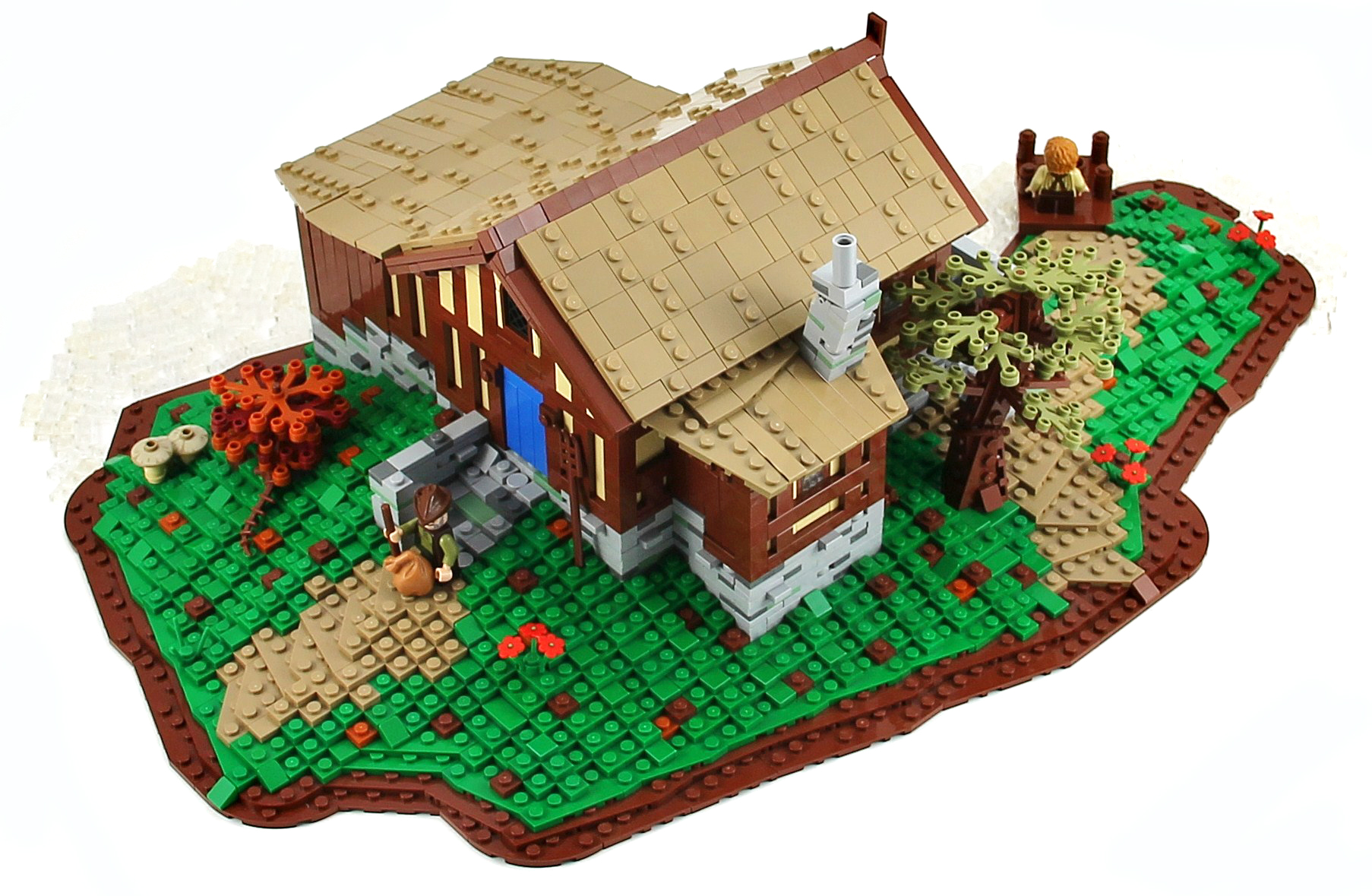
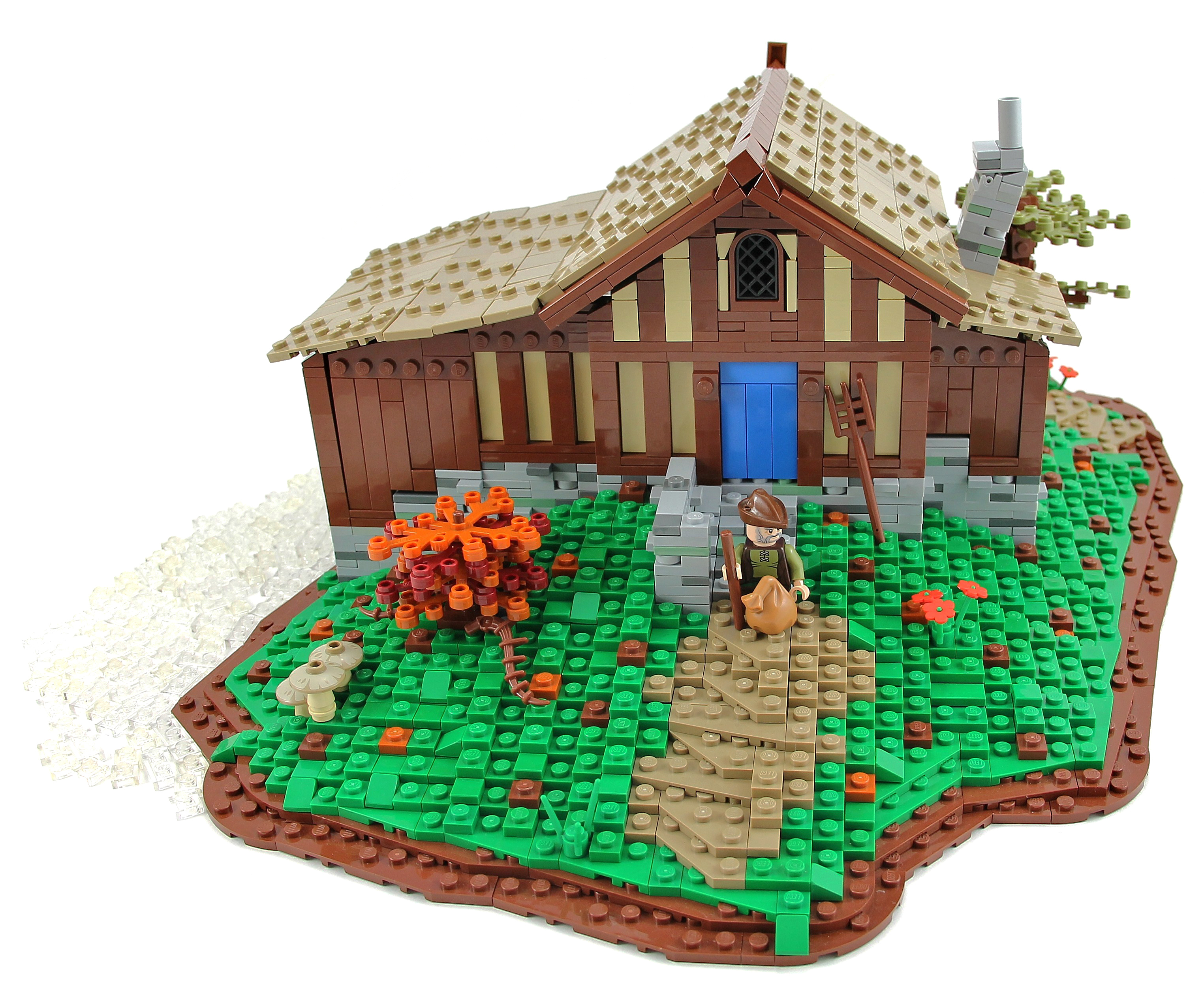
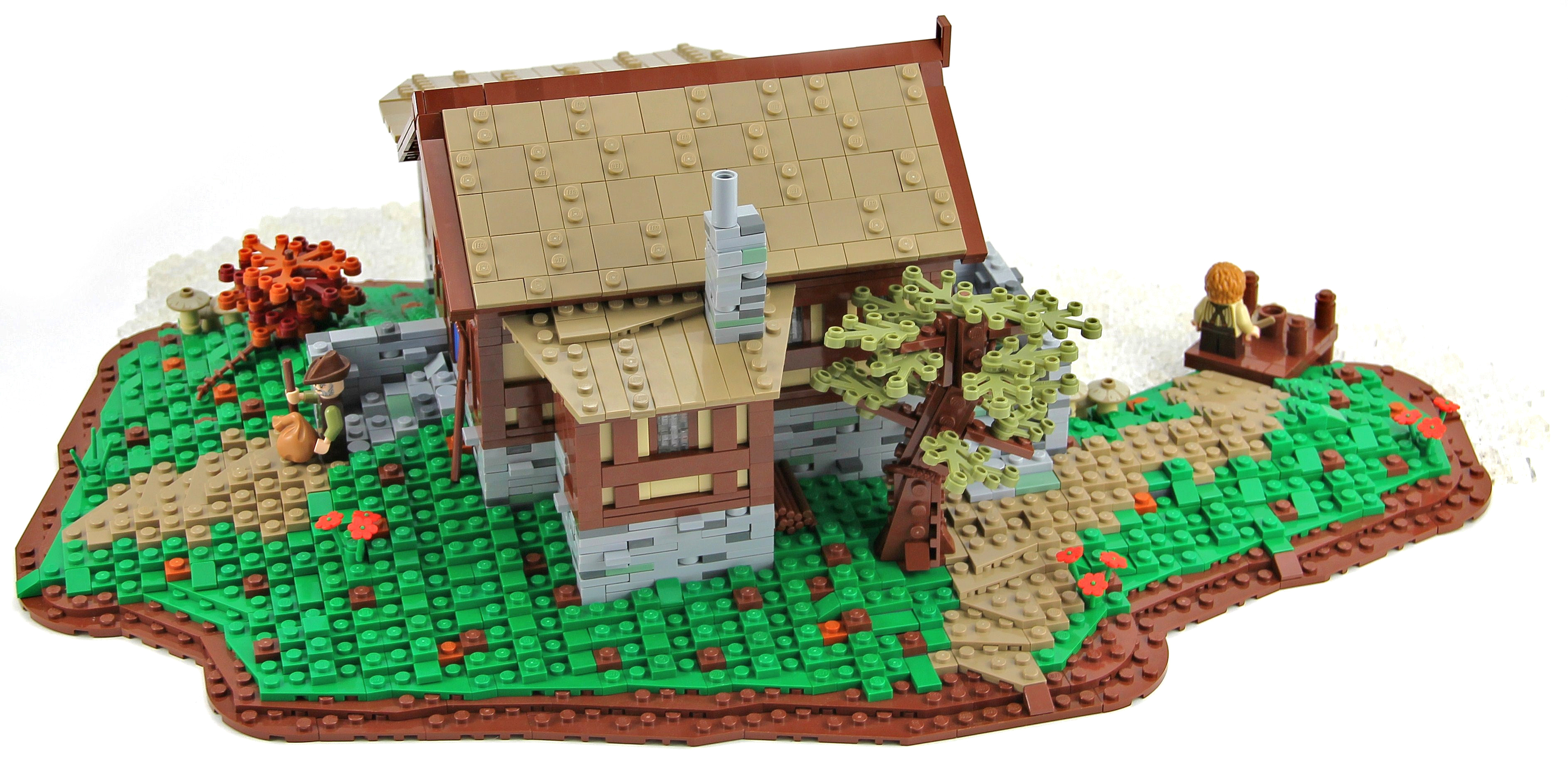
"The Old Mill was the watermill of Hobbiton, owned and run by the Sandyman Family. The Old Mill was a corn mill powered by a large water wheel. It lay directly adjacent to the bridge across the Water and next to the Old Grange as well."
This is the water mill that can be seen in the Lord of the Rings: The Fellowship of the Ring when Gandalf arrives in Hobbiton for Bilbo's birthday and crosses the bridge. I hope you will enjoy it, I apologize in advance for the photo, I didn't managed, unfortunately, to capture the water.
Credit to Pif500 for the wall technique :)
Cars and vans being transported across the country by train, taken from the footbridge at Claremorris Railway Station in Co. Mayo.
Photographer: James P. O'Dea
Date: September 1950
NLI Ref.: ODEA 4/42
♫ You are my strength when I am weak
You are the treasure that I seek
You are my all in all
Seeking You as a precious jewel
Lord, to give up I'd be a fool
You are my all in all ♫
Foto tirada Sábado pela manha no Costão de Itacoatiara, diferente das ultimas trilhas que tenho indo e publicado fotos aqui, o Costão de Itacoatiara é bem mais pesado, apesar de estar ainda qualificada como um trilha mediana, mas essa ai não basta apenas subir no seu proprio ritimo, pois ela tem uma hora que necessita fazer uma semi escalada, mas estar neste local com esta vista, recompensa o esforço e o cansaço.
Peço desculpa pela ausancia e a falta de retribuição nas visitas, mas sexta o flick ficou com problemas basicamente o dia inteiro e ontem a foto já mostra o motivo, daqui a pouco estarei saindo novamente...
* Todas fotos da sequencia estão abertas, pois já foram publicadas anteriormente, mas desta vez irei assinalar na foto principal e aqui onde cada uma das fotos foi tirada.
1 - Morro da Andorinha
2 - Pedra do Pampo
3 - Praia de Itacoatiara
4 - Praia de Camboinhas
5 - Praia de Piratininga
Foto: Eu - Me - Costão de Itacoatiara - Niteroi - Rio de Janeiro - Brasil
Video: ♪ You Are my All in All ♪ - The Gaither Vocal Band
Conforme a Lei 9.610/98, é proibida a reprodução total ou parcial ou divulgação comercial ou não sem a autorização prévia e expressa do autor (artigo 29). ® Todos os direitos reservados.
According to Law 9.610/98, it is prohibited the partial or total commercial reproduction without the previous written authorization of the author (article 29). ® All rights are reserved.
Het begin van de Hondsbossche zeewering.
Strand/beach Schoorl / Camperduin - Noord Holland
++++++++++++++++++++++++++++++++++++++++
© 2013 Frank van Dongen
FB | 500px | FLICKEFLU | WERKAANDEMUUR | My Website | Getty Images
++++++++++++++++++++++++++++++++++++++++++++++++++++++
Welcome to a small piece of a tropical rainforest with a running waterfall, intricate rocks and exotic fauna inhabited by tree frogs, a chameleon and more.
Enjoy the Video to see the running water, and various details like the leaky cave :)
This build started as wanting to to have a running waterfall/fountain. We started with an upside down Belleville baseplate to hold the water, which also meant that the entire build was stared upside-down. The transition to going right side up was used to create various rock work and give us interesting angles. The pump and stickers are the only non Lego elements included. The background itself is taken from a Lego Chima poster.
=======
This was created for our Iron Builder against the Erickson Brothers, and uses the green flexible spike as large ferns, chameleon paws, turtle feet, a water lilly, a budding willow branch and more.
These two cute baby Barred Owls were perched in an Ear Tree last spring. The owl on the left had just fledged the nest that day and the one on the right had fledged a few days earlier. You can see that the bird on the left has more down and less feathers than the bird on the right.
It looks like I was close but I was actually about 100 feet away. The shot is fairly heavily cropped. The light was a bit uneven but I don't use flash on owls, so I was pleased with the way this turned out.
Taken in the Orlando area, Orange County, Central Florida, USA
Canon Rebel XSi and Canon EF 100-400mm f/4.5-5.6L IS USM
Schoorl / Camperduin - Noord Holland
++++++++++++++++++++++++++++++++++++++++++++++++++++++
© 2013 Frank van Dongen
FB | 500px | FLICKEFLU | WERKAANDEMUUR | My Website | Getty Images
++++++++++++++++++++++++++++++++++++++++++++++++++++++
Created for:
Kreative People ♣ Blue Theme ♣ contest #18
The Award Tree Challenge 110 ~ Awesome Sunsets
_____________________________________
there is a big, a big hard sun
my textures and one by SkeletalMess thank you!
Happy Sliders Sunday everyone!
♥
The Burg Gutenfels (also known as castle Kaub) is a castle 110m above the town of Kaub in Rhineland-Palatinate, Germany. It was build in 1220. It was used with Pfalzgrafenstein Castle in the middle of the Rhein and the fortified city of Kaub on the far side to provide an impenetrable toll zone for the Holy Roman Emperor until Prussia purchased the area (1866) and ended this toll in 1867. The Castle is in part of the Rhine Gorge, a UNESCO World Heritage Site added in 2002.
Kaub (old spelling: Caub) is a town in Germany, state Rhineland-Palatinate, district Rhein-Lahn-Kreis. It is part of the municipality (Verbandsgemeinde) Loreley. It is located on the right bank of the Rhine, approx. 50 km west from Wiesbaden.
It has a Roman Catholic and an Evangelical church, and a statue of General Blücher. The trade mainly consists of the wines of the district. (Wikipedia)
Much better in Large On Black
© 2013 Ursula Sander - All rights reserved.
© all rights reserved by B℮n
Please take your time... to View it large on black
Schokland is a former island in the Dutch Zuiderzee. Schokland lost its status as an island when the Noordoostpolder was reclaimed from the sea in 1942. The remains are still visible as a slightly elevated part in the polder and by the still partly intact retaining wall of the waterfront of Middelbuurt. As a result from the increasing sea-level Schokland transformed from an attractive settlement area in the Middle Ages to a place under continuous threat by floods in the 19th century. By that time the Schoklanders had retreated to the three most elevated parts, Emmeloord, Molenbuurt, and Middelbuurt. A major flood in 1825 brought massive destruction, and in 1859 the government decided to end permanent settlement on Schokland. The former municipality of Schokland was joined to Kampen on the mainland. Today Schokland is a popular archeological site. Schokland was the first UNESCO World Heritage Site in the Netherlands. Schokland has vestiges of human habitation going back to prehistoric times. It symbolizes the heroic, age-old struggle of the people of the Netherlands against the encroachment of the waters. According to Statistics Netherlands, there are five people living on the former island. Emmeloord was the northernmost village on the former Dutch island of Schokland. Above is the old port of Emmeloord today amid the farmland of the northeast. Meanwhile the lighthouse is rebuilt and placed on the former location of the port of the old Emmeloord. A replica of the Emmeloorder harbor light brought back to the original place where it has been before.
You can find dikes around grasslands of the former island Schokland. These dikes are in exactly the same place as in the Middle Ages, when farmers in this place in the peat grew their food. The farmers lived on their own huisterpje, which can be seen as counterfeit hill in the landscape. On some part of the dikes and mounds you can walk over trails. The wet grasslands becomes also for the nature of Schokland a welcome addition. Many species have found a new habitat.
In het hoogveen gebied waar nu de plaatsen Swifterbant en Schokland liggen woonden 8000 jaar geleden al mensen. Toen 500 jaar geleden de vernatting echt toesloeg was alleen het hoogste punt duidelijk zichtbaar en werd het eiland Schokland geboren. Schokland was een eiland in de Zuiderzee. In de Middeleeuwen was Schokland veel groter dan nu. In de vroegere tijd was de haven van het eiland Schokland een belangrijke vluchtplaats voor het drukke scheepvaartsverkeer op de Zuiderzee. Bij hevige storm en zware ijsgang vonden schepen hier een veilge ligplaats. Het eiland werd als gevolg van zware stormen steeds kleiner. Het lag niet erg hoog en had daarom regelmatig te maken met overstromingen. Het eiland werd hierom in 1859 op last van Willem III ontruimd. Slechts een paar inwoners bleven op het eiland wonen, om onder andere de vuurtoren te bedienen. De laatste bewoner was Jan Spit die hier van 1923 tot 1940 woonde. Zijn taak was zowel het in bedrijf houden van de haven als het bedienen van de havenlichten en vuurtoren. Zijn vrouw Jeltje dreef een klein winkeltje met kruidenierswaren. Zijn woning is hier boven nog te zien in Emmeloord. In 1942 is het eiland weer vaste land en ligt het, als een schip op het droge, midden tussen de boerderijen. De robuuste bewoners van Schokland zijn na de evacuatie in de nabijgelegen vissersdorpen Kampen, Vollenhove, Blokzijl en Urk terechtgekomen. Schokland staat ook symbool voor het Nederlandse leven met het water en staat sinds enkele jaren op de UNESCO werelderfgoed lijst. Door de graslanden rondom Schokland lopen dijkjes. Deze dijkjes liggen op precies dezelfde plek als in de middeleeuwen, toen boeren op deze plek in het veen hun voedsel verbouwden. De boeren woonden elk op een eigen huisterpje, die als nagemaakte ronde verhogingen in het landschap te zien zijn. Over een deel van de dijkjes en terpen lopen nu wandelpaden. De natte graslanden blijken ook voor de natuur van Schokland een welkome aanvulling. Veel diersoorten hebben er een nieuw leefgebied gevonden.
I haven't been seeing many butterflies in my yard for most of the summer but things have been picking up lately. This beautiful butterfly was feeding in the pentas in my yard in Central Florida.
Canon Rebel XSi and Canon EF 100-400mm f/4.5-5.6L IS USM
One of my goals for 2013 was to take some long exposure night photos and to get some shots of lightning. So here is another experimental shot. This was the first night I ever tried talking lightning photos...
This photo was taken from the observation walkway on "city key", Sarasota Florida across from the Sarasota Sailing Squadron, close to the Mote Marine Aquarium facing toward Coon Key.St. Armands Circle is to the right. The tall building in the center is Plymouth Harbor, a local retirement community.
Thanks for taking a look. As always comments and constructive advice is always appreciated.
Mike
Exif data
Camera.......................Nikon D600
Exposure....................20
Aperture......................f/4.5
Focal Length..............55 mm
ISO Speed..................100
i shot a friend's wedding back in June,
here, getting up close and personal with the bridal bouquet
thank you Lenabem-Anna (Internet problems-vacation) for the wonderful texture
have a fabulous weekend, my flickrinos!
♥
The eye is immediately drawn to the ancient Cross here in the middle of the town of Kells in Co. Meath, but I don't think we've come across such an ornate post box before. (Or if it isn't a post box, what is it?)
Photographer: Probably Robert French of Lawrence Photographic Studios, Dublin
Date: Circa 1900??
NLI Ref.: L_ROY_05279
... in the signal box presumably. It would be lovely to get a name and a use for all of these things.
Photographer: James P. O'Dea
Date: October 1938
NLI Ref.: ODEA 1/31
The Grand Canal (Italian: Canal Grande, Venetian: Canałasso) is a canal in Venice, Italy. It forms one of the major water-traffic corridors in the city. Public transport is provided by water buses (Italian: vaporetti) and private water taxis, and many tourists explore the canal by gondola. At one end, the canal leads into the lagoon near the Santa Lucia railway station and the other end leads into Saint Mark Basin; in between, it makes a large reverse-S shape through the central districts (sestieri) of Venice. It is 3,800 m long, 30–90 m wide, with an average depth of five meters (16.5 ft).
Because most of the city's traffic goes along the Canal rather than across it, only one bridge crossed the canal until the 19th century, the Rialto Bridge. There are currently three more bridges, the Ponte degli Scalzi, the Ponte dell'Accademia, and the recent, controversial Ponte della Costituzione, designed by Santiago Calatrava, connecting the train station to Piazzale Roma, one of the few places in Venice where buses and cars can enter. As was usual in the past, people can still take a ferry ride across the canal at several points by standing up on the deck of a simple gondola called a traghetto, although this service is less common than even a decade ago. Most of the palaces emerge from water without pavement. Consequently, one can only tour past the fronts of the buildings on the grand canal by boat.
en.wikipedia.org/wiki/Grand Canal, Venice
The Ca' da Mosto is a thirteenth-century palace in Venice, northern Italy, the oldest building on the Grand Canal. It is in the Veneto-Byzantine style, with high narrow arches and distinctive capitals. The features of the palace show its beginnings as a casa-fondaco, the home and workplace of its original merchant owner. A second floor was added at the beginning of the sixteenth century, and a third in the nineteenth. The palace takes its name from the Venetian explorer Alvise da Ca' da Mosto, who was born in the palace in 1432. It stayed in the da Mosto family until 1603, when Chiara da Mosto left her entire estate to Leonardo Donà dalle Rose, a nephew of her second husband, rather than her da Mosto relatives, with whom she had fallen out. Between the 16th and the 18th centuries the Ca' da Mosto housed the well-known Albergo Leon Bianco (the White Lion Hotel). In 1769 and 1775 the Holy Roman Emperor and son of Maria Theresa, Joseph II, lived here during his stay in Venice.
en.wikipedia.org/wiki/Ca' da Mosto
The Chiesa dei Santi Apostoli di Cristo (English: Church of the Holy Apostles of Christ), commonly called San Apostoli, is a 7th-century Roman Catholic church located in the Cannaregio sestiere of the Italian city of Venice. It is one of the oldest churches in the city and has undergone numerous changes since its foundation. The present building is the result of a major reconstruction project which was undertaken in 1575. The church is notable particularly for the Cornaro Chapel, an important example of Early Renaissance architecture, added by Mauro Codussi during the 1490s. The chapel is the burial place of several members of the powerful Cornaro family, including Catherine Cornaro, Queen of Cyprus. The church houses several works of art including pieces by Giambattista Tiepolo and Paolo Veronese.
en.wikipedia.org/wiki/Santi Apostoli, Venice
Palazzo dei Camerlenghi is a Renaissance palace in Venice, northern Italy, located in the sestiere (quarter) of San Polo. It faces the Canal Grande, near the Rialto Bridge. The palace was built from 1525 to 1528 under design by Guglielmo dei Grigi, who was inspired by the style of Mauro Codussi and Pietro Lombardo. It was the seat of several financial magistrates, including the Camerlenghi whom it takes its name from, the Consuls of the Traders and the Supra-Consuls of the Traders. Due to this function, the lower floor was used as a jail for the insolvents: the location nearby the crowded Rialto Bridge served as an admonition for the people passing there. The palace currently houses the regional seat of the Italian Comptroller and Auditor General. The palace has a pentagonal plan which follows the shore of the Canal Grande, with three floors. It has tall windows with centrings, divided by false columns and decorated with friezes. There were once polyhcrome marble and porphyry slabs, now lost. Due to the Venetian tradition that, when leaving the position, a magistrate would leave a religious-themed painting and a portrait in his former seat, the Palazzo dei Camerlenghi housed numerous artworks. These were dispersed during the French occupation; some returned to Venice, but are now in other locations.
A real folklore Irish Hawthorn Fairy Tree located at Mc Kinney's Bridge in Strabane, County Tyrone, Northern Ireland
Fairy trees are trees which fairy's are suppose to live and dance around but legend has it if you chop one down bad luck will follow for the rest of your life! So from fear and superstition almost all farmers in Ireland leave them standing alone in fields
© 2013 Frank van Dongen
500px | FLICKEFLU | WERKAANDEMUUR | My Website | Getty Images
++++++++++++++++++++++++++++++++++++++++++++++++++++++
¡gracias Angel, por esa gran caminata en tu maravillosa ciudad, besos, los extrañamos mucho!
textures by [http://www.flickr.com/photos/13796443@N05/] & [http://www.flickr.com/photos/skeletalmess/] thanks!
happy fence friday everyone, have a fabulous long weekend!
♥
"I have a dream that one day this nation will rise up and live out the true meaning of its creed:
"We hold these truths to be self-evident, that all men are created equal."
-Martin Luther King Jr.
Today marks the 50th anniversary of the March on Washington,
there is much work to be done, never give up, unlock the possibilities!
my texture
happy bokeh wednesday, happy hump day, happy keep the dream alive day!
♥
Visita mi WEB
Podeis seguirme en mi FACEBOOK, estais todos invitados!!!
Esta semana otra vertical, parece que últimamente me encuentro a gusto con este formato, dicen que es más complicado distribuir elementos de esta manera , pero en mi opinión si son pocos y jugando con un primer plano y un fondo interesante se pueden conseguir perspectivas con una eficaz sensación de profundidad y además se consigue siempre centrar mucho más la atención sobre lo verdaderamente interesante de la escena. No escogí el formato yo, más bien creo que el formato últimamente me escoge a mí y luego me busco la vida para hacer lo que puedo con lo que tengo delante de la cámara...no se ,divagaciones mias.....
-Técnica: Para la escena de hoy ND 64 de B&W ,más inverso de dos pasos de Hi Tech mas Black Card, ésta la utilizé poniéndola perpendicular al eje del horizonte ( para estas ocasiones tengo una estrechita de unos 2 cm) intentando reservar el cielo sin tapar en exceso los farallones.Con este tipo de escenas en las que las nubes blancas reciben la luz cálida del atardecer hay que tener cuidado con la exposición, pues la representación del histograma en la pantalla de la cámara (un jpg que realiza la propia cámara), puede aparecer dentro de gráfica pero realmente cuando abres la imagen en el procesador de RAWs, en mi caso DPP, los rojos, si hacemos una selección por canales, suelen estar quemados en las luces altas, es por esto que mi recomendación es que intenteis tender a subexponer al menos un paso, ya que después será más fácil recuperar zonas algo oscuras en edición que salvar luces quemadas.
Los datos exif los podreis encontrar en la WEB.
-COMPOSICIÓN: La compo resultó fácil en un principio, buscaba una triangulación de elementos entre las roquitas del primer plano y los farallones, tras la primera toma mi sorpresa fue descubrir que las trasparencias del agua dejaban entrever algunas formas del fondo bastante interesantes, sólo tuve que reencuadrar y controlar la exposición.Las nubes en el cielo me echaron una mano aderezando el fondo.
-Edición: En el DPP de Canon ,balance de blancos, por canales bajar un punto la exposición de los rojos,curvas.En PS contraste por zonas.
www.photoboxgallery.com/gallery/photo?photo_id=4058238531
Looking over Loch Long and the Firth of Clyde with Rosneath and then Gare Loch to the left
At 142 metres, it was the world's tallest building from 1647 to 1874
64 sec exposure, using a ND1000. I wanted an even longer exposure, but I already had to set the lens to f/22. I forgot about ISO 50 though...
© all rights reserved by B℮n
Please take your time... and enjoy it large on black
People from all around the world come to this quaint Dutch village located an hour’s drive north of Amsterdam. Enkhuizen is a beautiful city in the Netherlands in the province of North Holland. Enkhuizen was one of the harbour-towns of the East India Company - VOC, just like Hoorn and Amsterdam, from where overseas trade with the East Indies was conducted. It received city rights in 1355. In the mid-17th century, Enkhuizen was at the peak of its power and was one of the most important harbour cities in the Netherlands. However, due to a variety of reasons, notably the silting up of the harbours, Enkhuizen lost its position to Amsterdam. Nowadays, Enkhuizen continues the maritime tradition and has one of the largest marinas of the Netherlands. It is also the location of the Zuiderzeemuseum, an open-air museum reflecting life in the villages around the Zuiderzee throughout history. Enkhuizen is a great place to walk or cycle from one monument to another. The town is also a water lover's paradise. Boats abound; at times, every second street seems to be a canal.
In the 17th century, Enkhuizen was one of the wealthiest cities of Holland. It gained power and influence as a member of the VOC. Enkhuizen’s rich history is still noticeable today as you walk through the old inner city with its numerous state mansions, canals, churches, city walls and harbors. A walk across the Drommedaris-bridge brings you to a street called Dijk, which is lined with excellent examples of home styles from the 18th century - photo above.
Enkhuizen is een stad en gemeente in de regio West-Friesland, in de Nederlandse provincie Noord-Holland. De gemeente ligt aan zowel het Markermeer als het IJsselmeer. Enkhuizen staat bekend als de Haringstad vanwege haar verleden als centrum voor de haringvisserij. De geschiedenis van de Verenigde Oostindische Compagnie, kortweg VOC, is in Enkhuizen nog duidelijk zichtbaar. De VOC was in de 17e en 18e eeuw de grootste handelsonderneming ter wereld die met zijn prachtige schepen naar Aziatische landen reisde om handel te drijven. Door de gunstige ligging aan het IJsselmeer was het aantrekkelijke om hier een Kamer’ van de VOC te vestigen. De Drommedaris hier aan de linkerkant te zien, de verdedigingstoren aan de haven, en het centrum met de historische panden herinneren nog aan deze welvarende tijd. Vanzelfsprekend kan de watersporter hier zijn hart ophalen. De Westfriese Waterweken, de Klipperrace en het Jazzfestival zijn een greep uit de vele evenementen die ieder jaar in en om de haven worden georganiseerd. Ook aan cultuur is geen gebrek. In het Zuiderzeemuseum tonen ambachtslieden hun werk en krijg je een indruk van het leven aan zee. In Enkhuizen wordt nog Enkhuizens gesproken, een West-Fries dialect.
These were a fun little pair of shoes to build! We got a lot of inspiration from schfio, so be sure to check out some of his wonderful sculptures. Also as a side note, these are not actually based on Steph's shoes, we simply thought "Coral's Kicks" would be a fun brand name ;)
This is our 7th entry for our Iron Builder against the Erickson Brothers, using the green spike piece. Three weeks left!
==================================================================
You May License This Image Here Getty Images
To see all my photos available for Licensing on Getty Images, click on this link All Getty Images by HBMike2000
==================================================================
Out west in the desert, the climate is pretty harsh. Everything out here has to be tough to survive. Even the vegetables. I had to cut these guys with a hacksaw. A dirty, rusty one at that. Don't look at me that way, they insisted. Now if you don't mind, I'm gonna go have me a nice cold glass of milk. In a dirty glass of course.
View with with your nose plugged because I ate these things and I'm just a foot away from you
for
Our Daily Challenge: Food
----------------------------------------------------------------------------
Today, August 19 is World Photography Day
The invention of Photography was public announced on this day in 1839 in Paris
Taken on a summer morning at Mead Gardens in Winter Park, Florida.
Canon Rebel XSi and Canon EF 100-400mm f/4.5-5.6L IS USM
Día perfecto subiendo cerca de las termas de Pelehue, a unos 2200 metros de altura. Al fondo, el volcán Lonquimay, cerro Lancú y volcán Tolhuaca.
Valle de Ránquil, Región de la Araucanía, Chile central.
♫ When I gaze into the night sky and see the works of Your fingers
The moon and stars suspended in space, but what is man
That You are mindful of him?
You have given man
A crown of glory and honor
And have made him a little lower than the angels
You have put him in charge of all creation
The beasts of the field, The birds of the air, The fish of the sea
Oh, but what is man, Oh, what is man
That You are mindful of him?
O Lord, our God
The majesty and glory of Your Name, Transcends the earth
And fills the heavens
O Lord, our God, Little children praise Him perfectly
And so would we, And so would we
Alleluia, alleluia, The majesty and glory of Your Name
Alleluia, alleluia, The majesty and glory of Your Name
Alleluia! ♫
Nas fotos também podemos ver as Pedras Bonita e da Gávea, montanhas que tenho publicado no decorrer desta semana, mas vista de um ângulo mais distante e do outro lado da Baia de Guanabara em Niterói.
Aproveito para desejar a todas as pessoas de Boa Vontade que visitam esta pagina um excelente fim de semana, repleto de Saúde, Paz e muitas Alegrias.
* Todas as fotos foram tiradas no Parque da Cidade em Niterói em diferentes ocasiões e todas estão abertas, pois já foram publicadas anteriormente.
Foto: Entardecer e as Montanhas do Rio - Parque da Cidade - Niterói - Rio de Janeiro - Brasil
Video: The Majesty and Glory of Your Name - Sandi Patty
Conforme a Lei 9.610/98, é proibida a reprodução total ou parcial ou divulgação comercial ou não sem a autorização prévia e expressa do autor (artigo 29). ® Todos os direitos reservados.
According to Law 9.610/98, it is prohibited the partial or total commercial reproduction without the previous written authorization of the author (article 29). ® All rights are reserved.
Penso che sia il distributore di gelati più originale che abbia mai visto e fotografato!!
Una bellissima Cinquecento della Fiat che magari non funzionava più adesso si trova in un graziosissimo bar della Costa del Corallo, vicino al Alghero, al suo interno si possono trovare tante vaschette di gelato artigianale buonissimo;-))!
Approfitto della foto per presentarvi il mio nuovo gruppo nel quale raccolgo foto che raffigurino mezzi di trasporto di tutti i tipi, che abbiano le ruote e che siano particolari!!
After delivering the newly MoT'd Lynx back to it's expectant owners, my return load was this ex Stagecoach Cumberland Alexander RL bodied Leyland Olympian H119 SAO. Knowing that the bus was Gardner powered rather than Cummins, I was expecting a slow journey back but I have to admit to being very pleasantly surprised on finding the bus quite nimble and quick. The Standard of 'feel' to the drive was excellent, it rode well and was totally rattle free ... things which endeared it to me. A quick nip under it on a pit found it to be in excellent structural order, something which cannot often be said of the later Volvo built examples sadly. The old girl cheated death after returning from the clutches of a Barnsley breaker and will now hopefully become a useful member of the Routemaster Buses fleet of Nantwich, Cheshire. Hopefully it's next photographic appearance will see it wearing their smart two tone green livery.
I know, it has been done before, but I hadn't done it yet. It was pretty slippery to get to that place. The way down was much easier and from a different slope - now I know how to get up there. This is my first picture on full frame from my own camera. A classic, taken with another classic.
The waterfall is 60 m high and the cliffs you can see marked the coastline once upon a distant time.
Exif: ISO 200 ; f/7.1? ; 1/320 ; @14mm