View allAll Photos Tagged ,
© all rights reserved by B℮n
Please take your time... to View it large on black
The Marnixstraat is a street in Amsterdam, located along the western border of the Jordaan district in the center. The Marnixkade, parallel to the Marnixstraat, on the eastern bank of the Singel canal opposite the Nassaukade. The Eerste Marnixdwarsstraat above is located between Marnixstraat and Marnixkade. The street was named in 1872 to Filips van Marnix 1540 to 1598. The previous street, name was the Schans. The Canta are little red handicapped cars that are so normal in our streets, we don't even see them anymore. Just like we don't notice the Graffiti anymore. Graffiti is from the Italian word graffiato scratched. Graffiti is applied in art history to works of art produced by scratching a design into a surface. The term, graffiti, referred to the inscriptions, figure drawings, and such, found on the walls of ancient sepulchers or ruins, as in the Catacombs of Rome or at Pompeii. Use of the word has evolved to include any graphics applied to surfaces in a manner that constitutes vandalism. The Romans Classic also wrote on their walls and monuments. These were mostly political statements and announcements of gladiatorial games. It was not only the Greeks and Romans who produced graffiti: the Mayan site of Tikal in Guatemala also contains ancient examples. Viking graffiti survive in Rome. I think the graffiti above is probably not Vikings, perhaps a swedish kitchen cabinet from Ikea?
Photo inspired by my friend Mr. Akbar. He's a street art photographer with more than 10.000 photos. He doesn't make the graffiti himself but takes photos of it. Have a visit to his stream and just look and enjoy graffiti or hate them.
De Marnixstraat is een straat in Amsterdam, langs de westelijke grens van de Jordaan in stadsdeel Centrum.De Marnixkade ligt, parallel aan de Marnixstraat, op de oostelijke oever van de Singelgracht tegenover de Nassaukade. De Eerste Marnixdwarsstraat hierboven ligt tussen de Marnixstraat en de Marnixkade. De straat werd in 1872 vernoemd naar Filips van Marnix 1540-1598, heer van Sint Aldegonde. De straat, die voordien de Schans heette, werd na 1850 aangelegd op de plaats van de tussen 1820 en 1840 geslechte stadswallen. Het gedeelte van de Schans tussen Leidseplein en Frederiksplein werd in 1872 Weteringschans genoemd en het gedeelte tussen Frederiksplein en Nieuwe Vaart werd de Sarphatistraat. De Canta's zijn die vaak rode gehandicaptenwagentjes die zo normaal zijn in ons straatbeeld, dat je ze niet eens meer ziet. De Graffiti valt ons ook niet eens meer op. Het woord graffiti betekent ingekraste tekeningen en is de meervoudsvorm van het Italiaanse woord graffito, verwant aan graffio schram. Graffiti zijn van alle tijden. Er is zelfs een spreekwoord over: gekken en dwazen schrijven hun namen op muren en glazen. Het volk van de Vandalen was bekend om zijn graffiti. De Romeinen uit de klassieke oudheid schreven ook op hun muren en monumenten. Dit waren vooral politieke uitspraken en aankondigingen van gladiatorenspelen, bijvoorbeeld in Pompei. In Rome zijn er graffiti gevonden die de Vikingen daar hebben aangebracht. De Cro-magnonmens maakten tekeningen in rotsen. Ook de Egyptenaren stonden bekend om hun graffiti, de hiërogliefen. De graffiti hierboven is waarschijnlijk niet van Vikingen, misschien een zweeds kastje van Ikea?
Deeplinks : 1 - 2 - 3 - 4 - 5 - 6 - 7 - 8 - 9 - 10



------------------------------------
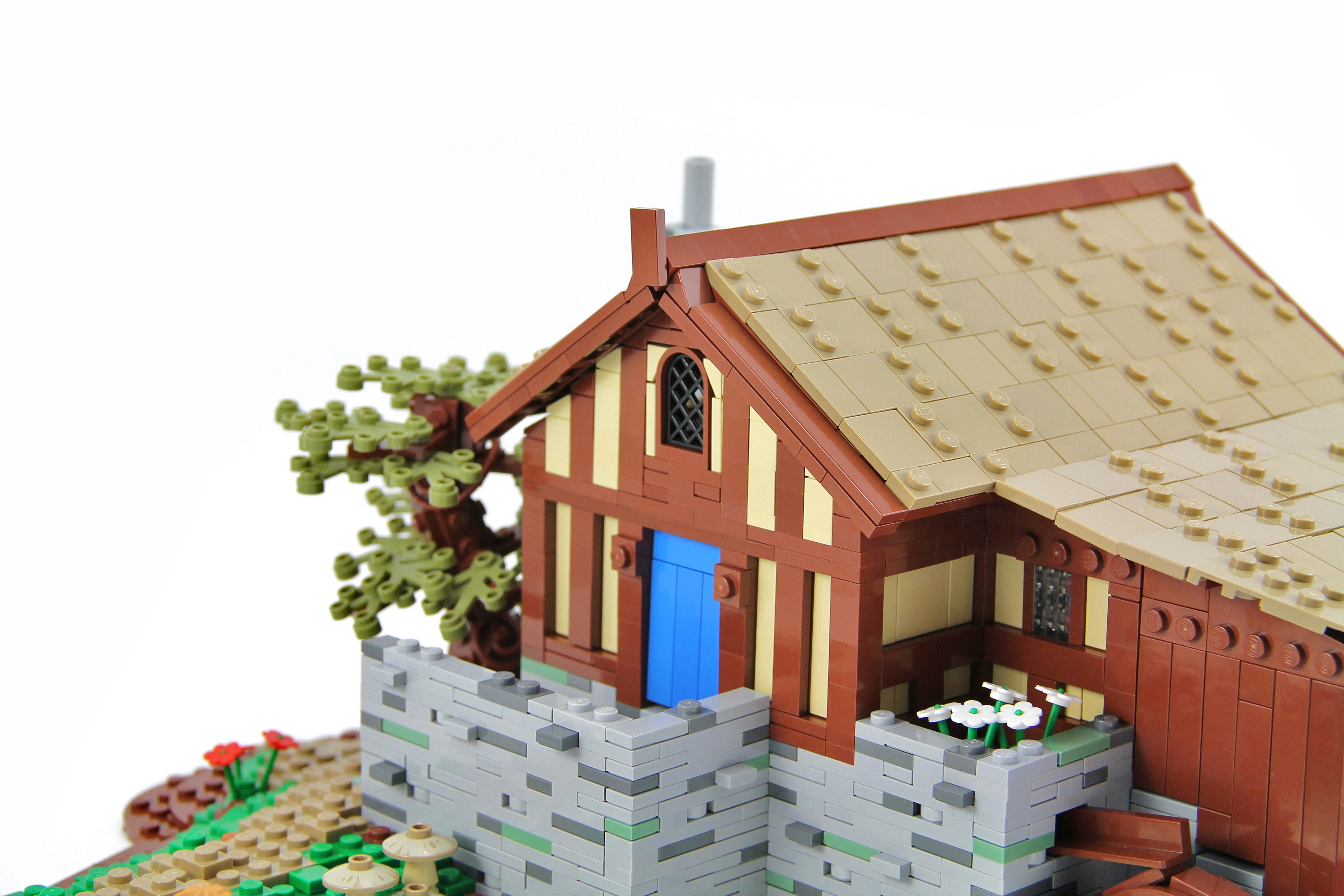
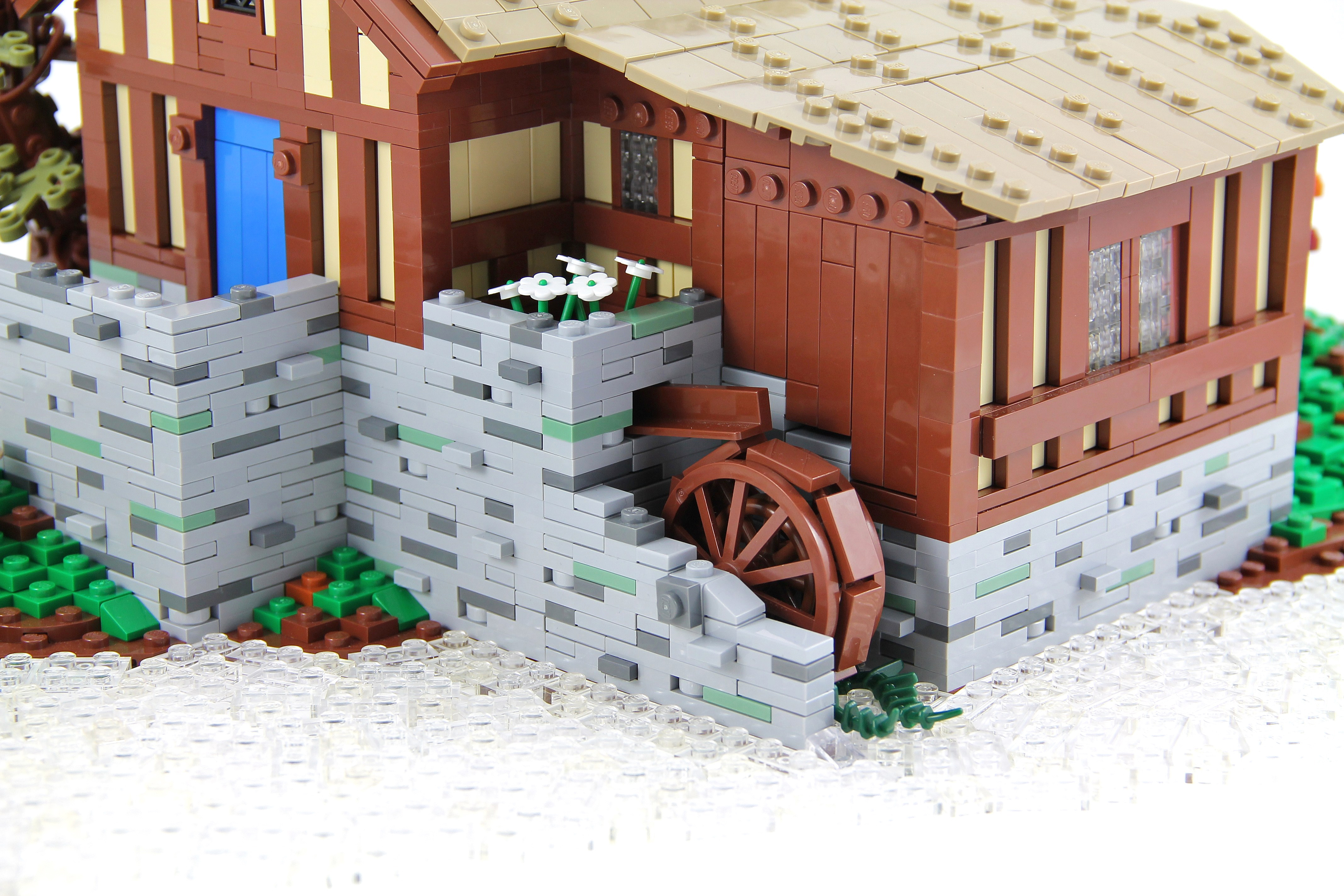
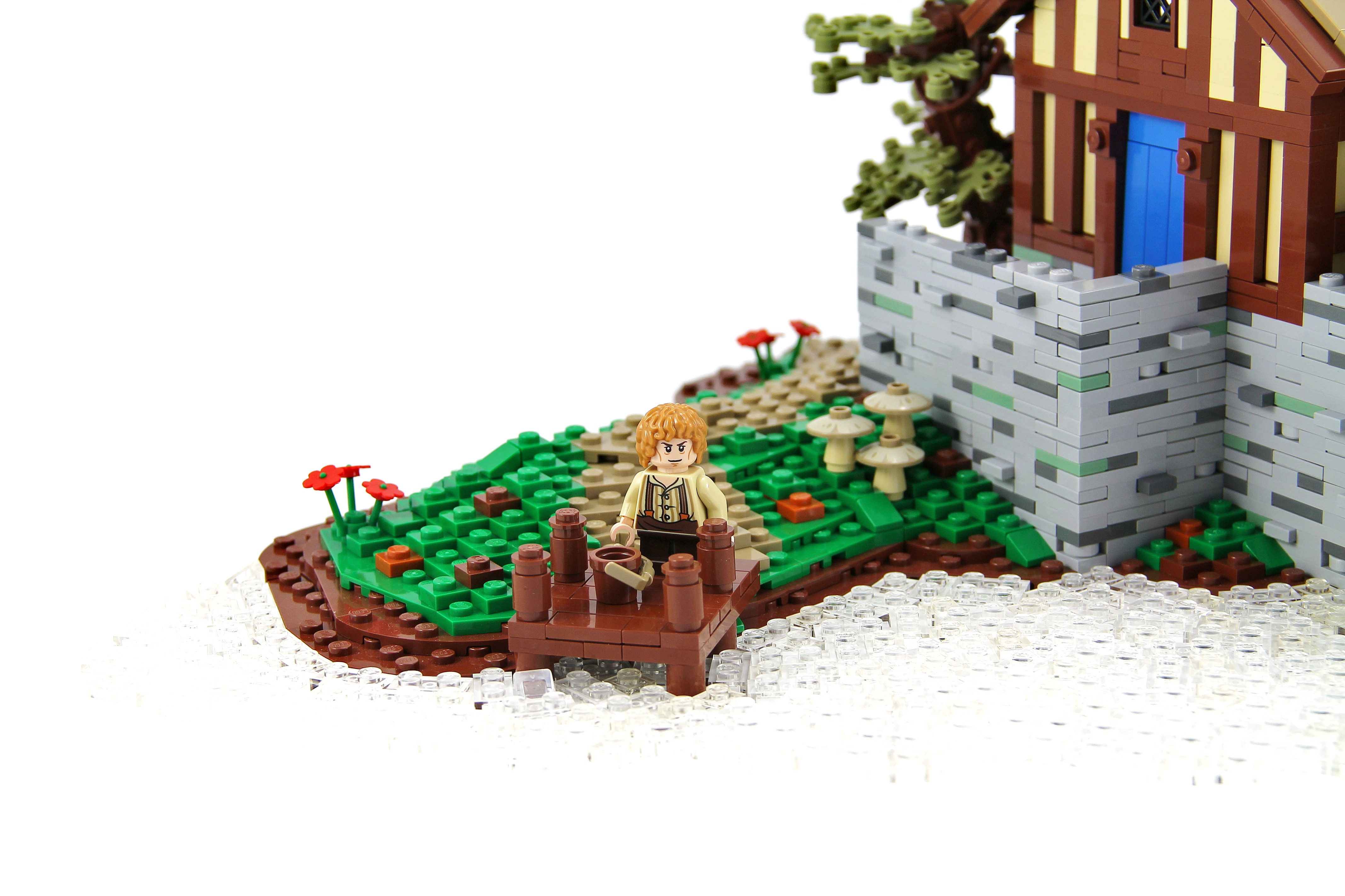
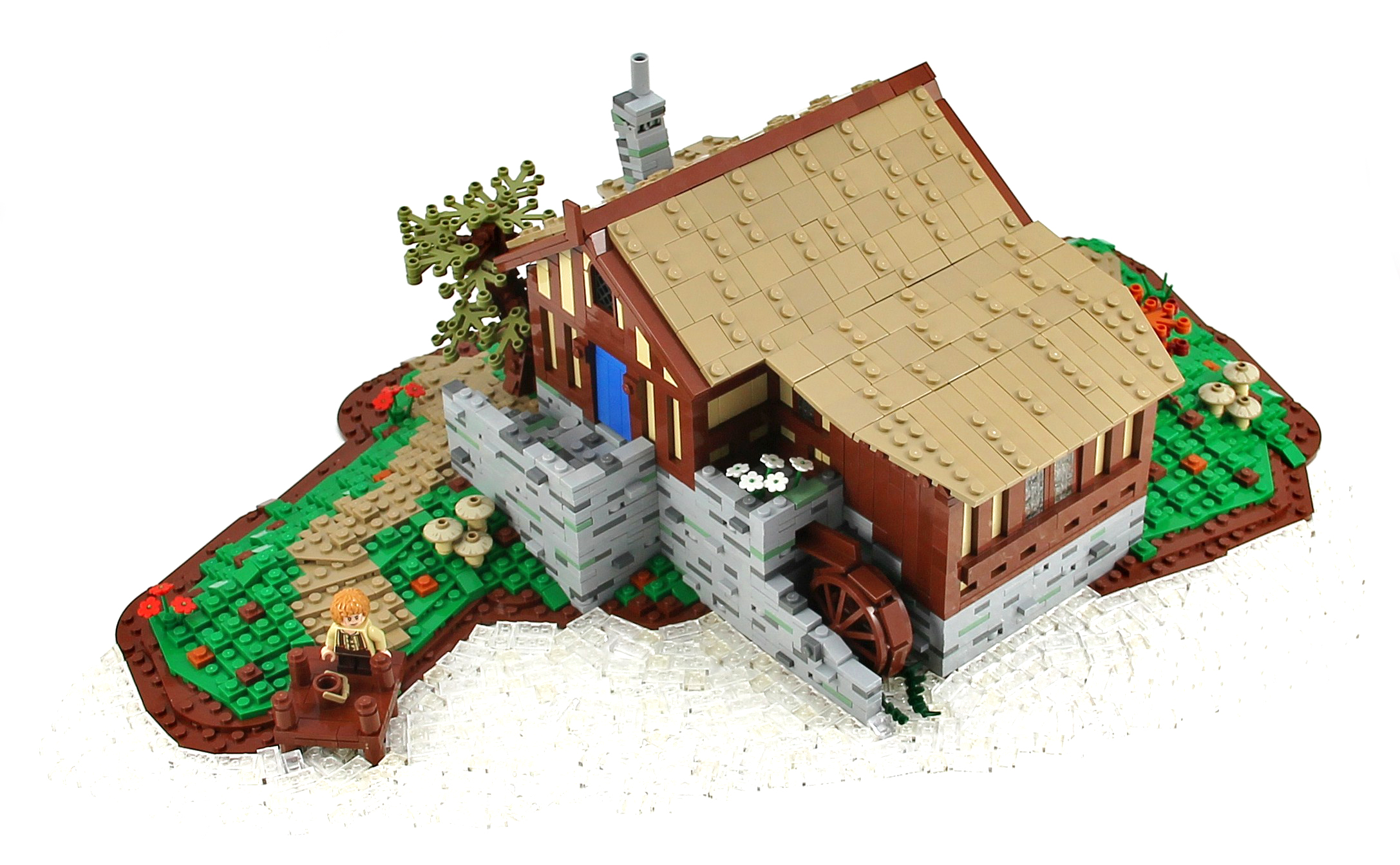
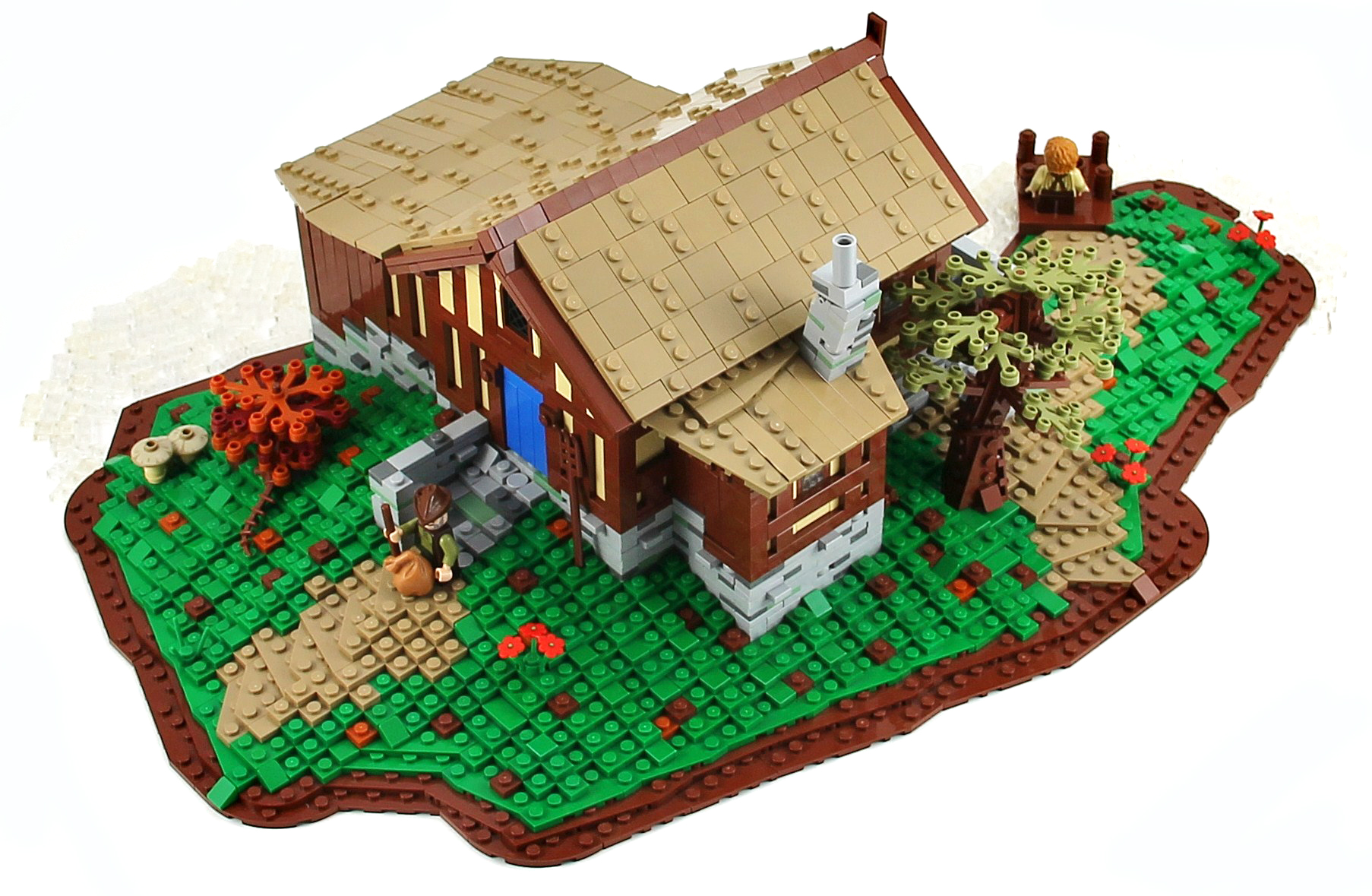
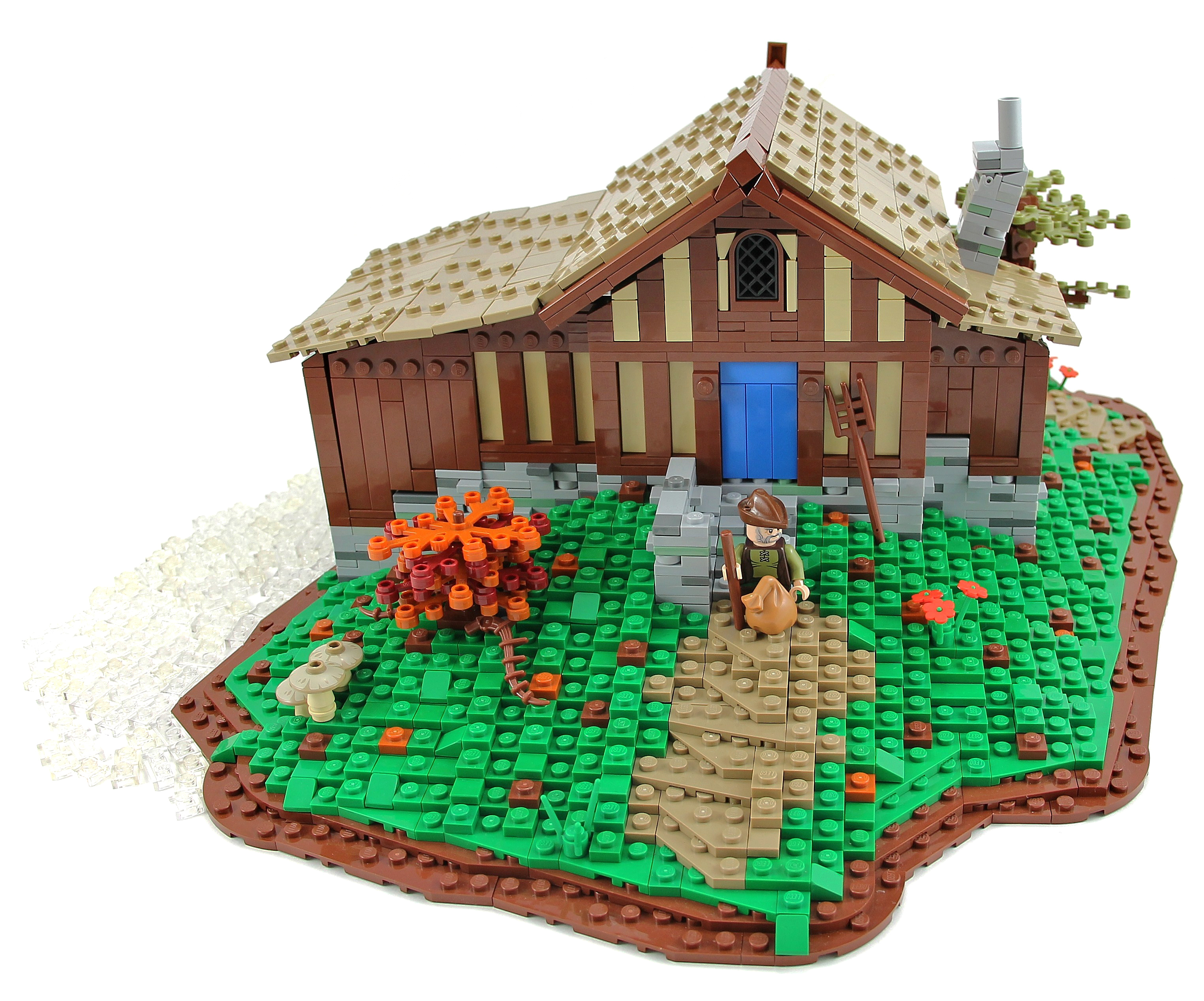
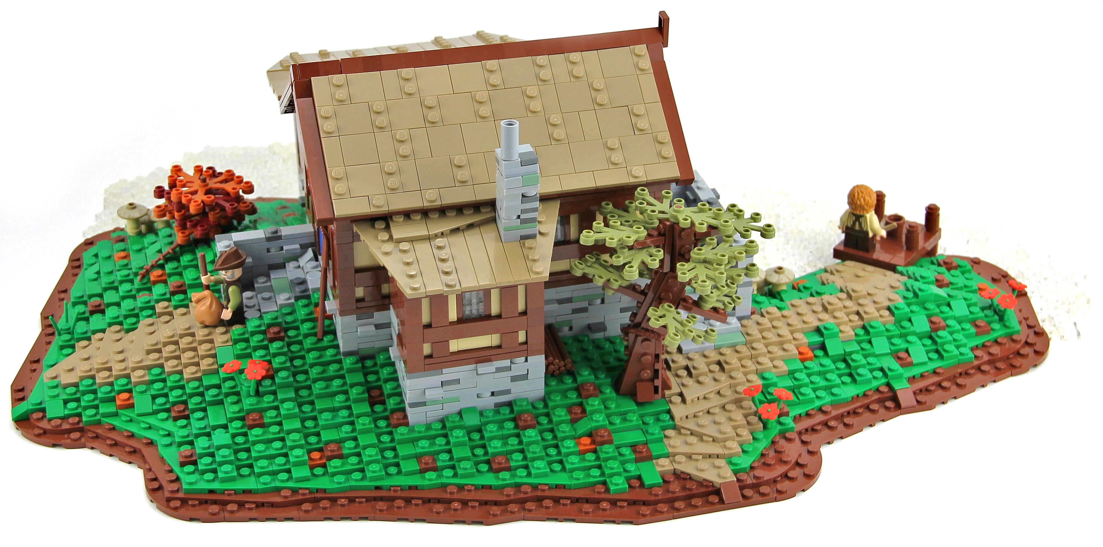
"The Old Mill was the watermill of Hobbiton, owned and run by the Sandyman Family. The Old Mill was a corn mill powered by a large water wheel. It lay directly adjacent to the bridge across the Water and next to the Old Grange as well."
This is the water mill that can be seen in the Lord of the Rings: The Fellowship of the Ring when Gandalf arrives in Hobbiton for Bilbo's birthday and crosses the bridge. I hope you will enjoy it, I apologize in advance for the photo, I didn't managed, unfortunately, to capture the water.
Credit to Pif500 for the wall technique :)
Cars and vans being transported across the country by train, taken from the footbridge at Claremorris Railway Station in Co. Mayo.
Photographer: James P. O'Dea
Date: September 1950
NLI Ref.: ODEA 4/42
♫ You are my strength when I am weak
You are the treasure that I seek
You are my all in all
Seeking You as a precious jewel
Lord, to give up I'd be a fool
You are my all in all ♫
Foto tirada Sábado pela manha no Costão de Itacoatiara, diferente das ultimas trilhas que tenho indo e publicado fotos aqui, o Costão de Itacoatiara é bem mais pesado, apesar de estar ainda qualificada como um trilha mediana, mas essa ai não basta apenas subir no seu proprio ritimo, pois ela tem uma hora que necessita fazer uma semi escalada, mas estar neste local com esta vista, recompensa o esforço e o cansaço.
Peço desculpa pela ausancia e a falta de retribuição nas visitas, mas sexta o flick ficou com problemas basicamente o dia inteiro e ontem a foto já mostra o motivo, daqui a pouco estarei saindo novamente...
* Todas fotos da sequencia estão abertas, pois já foram publicadas anteriormente, mas desta vez irei assinalar na foto principal e aqui onde cada uma das fotos foi tirada.
1 - Morro da Andorinha
2 - Pedra do Pampo
3 - Praia de Itacoatiara
4 - Praia de Camboinhas
5 - Praia de Piratininga
Foto: Eu - Me - Costão de Itacoatiara - Niteroi - Rio de Janeiro - Brasil
Video: ♪ You Are my All in All ♪ - The Gaither Vocal Band
Conforme a Lei 9.610/98, é proibida a reprodução total ou parcial ou divulgação comercial ou não sem a autorização prévia e expressa do autor (artigo 29). ® Todos os direitos reservados.
According to Law 9.610/98, it is prohibited the partial or total commercial reproduction without the previous written authorization of the author (article 29). ® All rights are reserved.
Het begin van de Hondsbossche zeewering.
Strand/beach Schoorl / Camperduin - Noord Holland
++++++++++++++++++++++++++++++++++++++++
© 2013 Frank van Dongen
FB | 500px | FLICKEFLU | WERKAANDEMUUR | My Website | Getty Images
++++++++++++++++++++++++++++++++++++++++++++++++++++++
These two cute baby Barred Owls were perched in an Ear Tree last spring. The owl on the left had just fledged the nest that day and the one on the right had fledged a few days earlier. You can see that the bird on the left has more down and less feathers than the bird on the right.
It looks like I was close but I was actually about 100 feet away. The shot is fairly heavily cropped. The light was a bit uneven but I don't use flash on owls, so I was pleased with the way this turned out.
Taken in the Orlando area, Orange County, Central Florida, USA
Canon Rebel XSi and Canon EF 100-400mm f/4.5-5.6L IS USM
Schoorl / Camperduin - Noord Holland
++++++++++++++++++++++++++++++++++++++++++++++++++++++
© 2013 Frank van Dongen
FB | 500px | FLICKEFLU | WERKAANDEMUUR | My Website | Getty Images
++++++++++++++++++++++++++++++++++++++++++++++++++++++
Created for:
Kreative People ♣ Blue Theme ♣ contest #18
The Award Tree Challenge 110 ~ Awesome Sunsets
_____________________________________
there is a big, a big hard sun
my textures and one by SkeletalMess thank you!
Happy Sliders Sunday everyone!
♥
The Burg Gutenfels (also known as castle Kaub) is a castle 110m above the town of Kaub in Rhineland-Palatinate, Germany. It was build in 1220. It was used with Pfalzgrafenstein Castle in the middle of the Rhein and the fortified city of Kaub on the far side to provide an impenetrable toll zone for the Holy Roman Emperor until Prussia purchased the area (1866) and ended this toll in 1867. The Castle is in part of the Rhine Gorge, a UNESCO World Heritage Site added in 2002.
Kaub (old spelling: Caub) is a town in Germany, state Rhineland-Palatinate, district Rhein-Lahn-Kreis. It is part of the municipality (Verbandsgemeinde) Loreley. It is located on the right bank of the Rhine, approx. 50 km west from Wiesbaden.
It has a Roman Catholic and an Evangelical church, and a statue of General Blücher. The trade mainly consists of the wines of the district. (Wikipedia)
Much better in Large On Black
© 2013 Ursula Sander - All rights reserved.
© all rights reserved by B℮n
Please take your time... to View it large on black
Schokland is a former island in the Dutch Zuiderzee. Schokland lost its status as an island when the Noordoostpolder was reclaimed from the sea in 1942. The remains are still visible as a slightly elevated part in the polder and by the still partly intact retaining wall of the waterfront of Middelbuurt. As a result from the increasing sea-level Schokland transformed from an attractive settlement area in the Middle Ages to a place under continuous threat by floods in the 19th century. By that time the Schoklanders had retreated to the three most elevated parts, Emmeloord, Molenbuurt, and Middelbuurt. A major flood in 1825 brought massive destruction, and in 1859 the government decided to end permanent settlement on Schokland. The former municipality of Schokland was joined to Kampen on the mainland. Today Schokland is a popular archeological site. Schokland was the first UNESCO World Heritage Site in the Netherlands. Schokland has vestiges of human habitation going back to prehistoric times. It symbolizes the heroic, age-old struggle of the people of the Netherlands against the encroachment of the waters. According to Statistics Netherlands, there are five people living on the former island. Emmeloord was the northernmost village on the former Dutch island of Schokland. Above is the old port of Emmeloord today amid the farmland of the northeast. Meanwhile the lighthouse is rebuilt and placed on the former location of the port of the old Emmeloord. A replica of the Emmeloorder harbor light brought back to the original place where it has been before.
You can find dikes around grasslands of the former island Schokland. These dikes are in exactly the same place as in the Middle Ages, when farmers in this place in the peat grew their food. The farmers lived on their own huisterpje, which can be seen as counterfeit hill in the landscape. On some part of the dikes and mounds you can walk over trails. The wet grasslands becomes also for the nature of Schokland a welcome addition. Many species have found a new habitat.
In het hoogveen gebied waar nu de plaatsen Swifterbant en Schokland liggen woonden 8000 jaar geleden al mensen. Toen 500 jaar geleden de vernatting echt toesloeg was alleen het hoogste punt duidelijk zichtbaar en werd het eiland Schokland geboren. Schokland was een eiland in de Zuiderzee. In de Middeleeuwen was Schokland veel groter dan nu. In de vroegere tijd was de haven van het eiland Schokland een belangrijke vluchtplaats voor het drukke scheepvaartsverkeer op de Zuiderzee. Bij hevige storm en zware ijsgang vonden schepen hier een veilge ligplaats. Het eiland werd als gevolg van zware stormen steeds kleiner. Het lag niet erg hoog en had daarom regelmatig te maken met overstromingen. Het eiland werd hierom in 1859 op last van Willem III ontruimd. Slechts een paar inwoners bleven op het eiland wonen, om onder andere de vuurtoren te bedienen. De laatste bewoner was Jan Spit die hier van 1923 tot 1940 woonde. Zijn taak was zowel het in bedrijf houden van de haven als het bedienen van de havenlichten en vuurtoren. Zijn vrouw Jeltje dreef een klein winkeltje met kruidenierswaren. Zijn woning is hier boven nog te zien in Emmeloord. In 1942 is het eiland weer vaste land en ligt het, als een schip op het droge, midden tussen de boerderijen. De robuuste bewoners van Schokland zijn na de evacuatie in de nabijgelegen vissersdorpen Kampen, Vollenhove, Blokzijl en Urk terechtgekomen. Schokland staat ook symbool voor het Nederlandse leven met het water en staat sinds enkele jaren op de UNESCO werelderfgoed lijst. Door de graslanden rondom Schokland lopen dijkjes. Deze dijkjes liggen op precies dezelfde plek als in de middeleeuwen, toen boeren op deze plek in het veen hun voedsel verbouwden. De boeren woonden elk op een eigen huisterpje, die als nagemaakte ronde verhogingen in het landschap te zien zijn. Over een deel van de dijkjes en terpen lopen nu wandelpaden. De natte graslanden blijken ook voor de natuur van Schokland een welkome aanvulling. Veel diersoorten hebben er een nieuw leefgebied gevonden.
One of my goals for 2013 was to take some long exposure night photos and to get some shots of lightning. So here is another experimental shot. This was the first night I ever tried talking lightning photos...
This photo was taken from the observation walkway on "city key", Sarasota Florida across from the Sarasota Sailing Squadron, close to the Mote Marine Aquarium facing toward Coon Key.St. Armands Circle is to the right. The tall building in the center is Plymouth Harbor, a local retirement community.
Thanks for taking a look. As always comments and constructive advice is always appreciated.
Mike
Exif data
Camera.......................Nikon D600
Exposure....................20
Aperture......................f/4.5
Focal Length..............55 mm
ISO Speed..................100
++++++++++++++++++++++++++++++++++++++++++++++++++++++
© 2013 Frank van Dongen
FB | 500px | FLICKEFLU | WERKAANDEMUUR | My Website | Getty Images
++++++++++++++++++++++++++++++++++++++++++++++++++++++
Photography can take some time...
This was a GPS-based hiking route that took me almost 4 hours for 12 kilometers...from Bergen aan Zee via the Kerf (a kind of whole in the dunes) near Schoorl back to Bergen aan Zee. GPS file on request.
Van Bergen aan Zee, via de Kerf bij Schoorl, door de duinen terug naar Bergen aan Zee.
Een wandeling van bijna 12 km; afgelegd in 3:43 uur...(fotografie kost wat tijd...)
GPS route op aanvraag (Garmin) :-)
The Grand Canal (Italian: Canal Grande, Venetian: Canałasso) is a canal in Venice, Italy. It forms one of the major water-traffic corridors in the city. Public transport is provided by water buses (Italian: vaporetti) and private water taxis, and many tourists explore the canal by gondola. At one end, the canal leads into the lagoon near the Santa Lucia railway station and the other end leads into Saint Mark Basin; in between, it makes a large reverse-S shape through the central districts (sestieri) of Venice. It is 3,800 m long, 30–90 m wide, with an average depth of five meters (16.5 ft).
Because most of the city's traffic goes along the Canal rather than across it, only one bridge crossed the canal until the 19th century, the Rialto Bridge. There are currently three more bridges, the Ponte degli Scalzi, the Ponte dell'Accademia, and the recent, controversial Ponte della Costituzione, designed by Santiago Calatrava, connecting the train station to Piazzale Roma, one of the few places in Venice where buses and cars can enter. As was usual in the past, people can still take a ferry ride across the canal at several points by standing up on the deck of a simple gondola called a traghetto, although this service is less common than even a decade ago. Most of the palaces emerge from water without pavement. Consequently, one can only tour past the fronts of the buildings on the grand canal by boat.
en.wikipedia.org/wiki/Grand Canal, Venice
The Ca' da Mosto is a thirteenth-century palace in Venice, northern Italy, the oldest building on the Grand Canal. It is in the Veneto-Byzantine style, with high narrow arches and distinctive capitals. The features of the palace show its beginnings as a casa-fondaco, the home and workplace of its original merchant owner. A second floor was added at the beginning of the sixteenth century, and a third in the nineteenth. The palace takes its name from the Venetian explorer Alvise da Ca' da Mosto, who was born in the palace in 1432. It stayed in the da Mosto family until 1603, when Chiara da Mosto left her entire estate to Leonardo Donà dalle Rose, a nephew of her second husband, rather than her da Mosto relatives, with whom she had fallen out. Between the 16th and the 18th centuries the Ca' da Mosto housed the well-known Albergo Leon Bianco (the White Lion Hotel). In 1769 and 1775 the Holy Roman Emperor and son of Maria Theresa, Joseph II, lived here during his stay in Venice.
en.wikipedia.org/wiki/Ca' da Mosto
The Chiesa dei Santi Apostoli di Cristo (English: Church of the Holy Apostles of Christ), commonly called San Apostoli, is a 7th-century Roman Catholic church located in the Cannaregio sestiere of the Italian city of Venice. It is one of the oldest churches in the city and has undergone numerous changes since its foundation. The present building is the result of a major reconstruction project which was undertaken in 1575. The church is notable particularly for the Cornaro Chapel, an important example of Early Renaissance architecture, added by Mauro Codussi during the 1490s. The chapel is the burial place of several members of the powerful Cornaro family, including Catherine Cornaro, Queen of Cyprus. The church houses several works of art including pieces by Giambattista Tiepolo and Paolo Veronese.
en.wikipedia.org/wiki/Santi Apostoli, Venice
Palazzo dei Camerlenghi is a Renaissance palace in Venice, northern Italy, located in the sestiere (quarter) of San Polo. It faces the Canal Grande, near the Rialto Bridge. The palace was built from 1525 to 1528 under design by Guglielmo dei Grigi, who was inspired by the style of Mauro Codussi and Pietro Lombardo. It was the seat of several financial magistrates, including the Camerlenghi whom it takes its name from, the Consuls of the Traders and the Supra-Consuls of the Traders. Due to this function, the lower floor was used as a jail for the insolvents: the location nearby the crowded Rialto Bridge served as an admonition for the people passing there. The palace currently houses the regional seat of the Italian Comptroller and Auditor General. The palace has a pentagonal plan which follows the shore of the Canal Grande, with three floors. It has tall windows with centrings, divided by false columns and decorated with friezes. There were once polyhcrome marble and porphyry slabs, now lost. Due to the Venetian tradition that, when leaving the position, a magistrate would leave a religious-themed painting and a portrait in his former seat, the Palazzo dei Camerlenghi housed numerous artworks. These were dispersed during the French occupation; some returned to Venice, but are now in other locations.
Saidosho Station, Fukuoka, JR Kyushu, Hita-Hikosan line,
July 2013
JR九州、日田彦山線、採銅所駅
Carl Zeiss Makro-Planar T* 2/50 ZE
This juvenile / immature hawk was a regular visitor to my back yard for a while last spring. She scared the heck out of my feeder birds but I never actually saw her catch one.
This was taken through my bedroom window in Central Florida, USA. Handheld at 1/60 sec.
Canon Rebel XSi and Canon EF 100-400mm f/4.5-5.6L IS USM
© 2013 Frank van Dongen
500px | FLICKEFLU | WERKAANDEMUUR | My Website | Getty Images
++++++++++++++++++++++++++++++++++++++++++++++++++++++
Dear contacts and visitors,
I'm offering this photo in a larger resolution [1680x1050px] for you to use as a desktop wallpaper or facebook cover if you wish!
If you re-blog the photo please be kind and leave a link to the original! Thank you!
Previous desktop offer - www.flickr.com/photos/jup3nep/8613630858/
A cloud is a visible mass of liquid droplets or frozen crystals made of water or various chemicals suspended in the atmosphere above the surface of a planetary body. These suspended particles are also known as aerosols. Clouds in Earth's atmosphere are studied in the cloud physics branch of meteorology. Two processes, possibly acting together, can lead to air becoming saturated; cooling the air or adding water vapor to the air. In general, precipitation will fall to the surface; an exception is virga, which evaporates before reaching the surface.
The international cloud classification system is based on the fact clouds can show free-convective upward growth like cumulus, appear in non-convective layered sheets such as stratus, or take the form of thin fibrous wisps, as in the case of cirrus. Prefixes are used in connection with clouds: strato- for low clouds with limited convection that form mostly in layers, nimbo- for thick layered clouds that can produce moderate to heavy precipitation, alto- for middle clouds, and cirro- for high clouds.
While a majority of clouds form in Earth's troposphere, there are occasions when clouds in the stratosphere and mesosphere can be observed. These three main layers of the atmosphere where clouds may be seen are collectively known as the homosphere. Above this lies the thermosphere and exosphere, which together make up the heterosphere that marks the transition to outer space. Clouds have been observed on other planets and moons within the Solar System, but, due to their different temperature characteristics, they are composed of other substances such as methane, ammonia, and sulfuric acid.
You can read more on clouds on Wiki - en.wikipedia.org/wiki/Cloud
Adjunto una hermosa canción de Loreena Mckennitt
Pulsar CTRL al mismo tiempo que el símbolo ♫♫
www.fluidr.com/photos/35196188@N03
www.youtube.com/user/25elgaucho
www.youtube.com/user/25elgaucho/videos?tag_id=&view=0...
En verano Peña Ubiña es bastante accesible, sólo hace falta salvar un desnivel cercano a 1200 m desde el pueblo de Torrebarrio.
En el primer plano podemos ver el sendero que baja de Peña Ubiña, y alcanza las praderías del collado del Ronzón, después de dejar atrás el inclinado y serpenteante sendero entre rocas que baja de la cumbre. Enfrente tenemos Ubiña La Pequeñas con 2197 m de altitud.
VER vídeo de este ascenso:
www.youtube.com/watch?v=35WZF2019Rc
In summer Peña Ubiña is quite accessible, just need to save a slope close to 1200 m from the village of Torrebarrio.
In the foreground we can see the path down Ubiña Peña, and reaches the pastures of the hill of Ronzón, after leaving behind the steep and winding path through rocks coming down from the summit. Before us Ubiña The Small with 2197 m altitude.
"I have a dream that one day this nation will rise up and live out the true meaning of its creed:
"We hold these truths to be self-evident, that all men are created equal."
-Martin Luther King Jr.
Today marks the 50th anniversary of the March on Washington,
there is much work to be done, never give up, unlock the possibilities!
my texture
happy bokeh wednesday, happy hump day, happy keep the dream alive day!
♥
Es la primera vez que hago unos pendientes de bola forrada así, pegaditos a la oreja. Y me encanta!!!
Llevan en el interior una perla de 6 mm y están forrados con rocalla 11/0.
Mi blog: conperlasyaloloco.blogspot.com.es/
Mi e-mail: conperlasyaloloco@gmail.com
I found this Leaf-footed Bug on one of the reflective glass windows outside the Sun Room of my home in Central Florida. When I looked at it from just the right angle, I was able to get its mirror image in the shot, as well. I don't do a lot of shooting during the summer so it's always nice to have a critter like this be so cooperative.
I believe this is Acanthocephala declivis but I'm not certain. I'd welcome any feedback on the ID.
Canon Rebel XSi and Canon 75-300
Update - Thanks for the feedback, Dana and Ash. Looks like I guessed right.
Visita mi WEB
Podeis seguirme en mi FACEBOOK, estais todos invitados!!!
Esta semana otra vertical, parece que últimamente me encuentro a gusto con este formato, dicen que es más complicado distribuir elementos de esta manera , pero en mi opinión si son pocos y jugando con un primer plano y un fondo interesante se pueden conseguir perspectivas con una eficaz sensación de profundidad y además se consigue siempre centrar mucho más la atención sobre lo verdaderamente interesante de la escena. No escogí el formato yo, más bien creo que el formato últimamente me escoge a mí y luego me busco la vida para hacer lo que puedo con lo que tengo delante de la cámara...no se ,divagaciones mias.....
-Técnica: Para la escena de hoy ND 64 de B&W ,más inverso de dos pasos de Hi Tech mas Black Card, ésta la utilizé poniéndola perpendicular al eje del horizonte ( para estas ocasiones tengo una estrechita de unos 2 cm) intentando reservar el cielo sin tapar en exceso los farallones.Con este tipo de escenas en las que las nubes blancas reciben la luz cálida del atardecer hay que tener cuidado con la exposición, pues la representación del histograma en la pantalla de la cámara (un jpg que realiza la propia cámara), puede aparecer dentro de gráfica pero realmente cuando abres la imagen en el procesador de RAWs, en mi caso DPP, los rojos, si hacemos una selección por canales, suelen estar quemados en las luces altas, es por esto que mi recomendación es que intenteis tender a subexponer al menos un paso, ya que después será más fácil recuperar zonas algo oscuras en edición que salvar luces quemadas.
Los datos exif los podreis encontrar en la WEB.
-COMPOSICIÓN: La compo resultó fácil en un principio, buscaba una triangulación de elementos entre las roquitas del primer plano y los farallones, tras la primera toma mi sorpresa fue descubrir que las trasparencias del agua dejaban entrever algunas formas del fondo bastante interesantes, sólo tuve que reencuadrar y controlar la exposición.Las nubes en el cielo me echaron una mano aderezando el fondo.
-Edición: En el DPP de Canon ,balance de blancos, por canales bajar un punto la exposición de los rojos,curvas.En PS contraste por zonas.
At 142 metres, it was the world's tallest building from 1647 to 1874
64 sec exposure, using a ND1000. I wanted an even longer exposure, but I already had to set the lens to f/22. I forgot about ISO 50 though...
Friday night's PDX Nightowls photo walk blast of sunset color was preceded by this pretty fine sunset. NB15610
These were a fun little pair of shoes to build! We got a lot of inspiration from schfio, so be sure to check out some of his wonderful sculptures. Also as a side note, these are not actually based on Steph's shoes, we simply thought "Coral's Kicks" would be a fun brand name ;)
This is our 7th entry for our Iron Builder against the Erickson Brothers, using the green spike piece. Three weeks left!
==================================================================
You May License This Image Here Getty Images
To see all my photos available for Licensing on Getty Images, click on this link All Getty Images by HBMike2000
==================================================================
Out west in the desert, the climate is pretty harsh. Everything out here has to be tough to survive. Even the vegetables. I had to cut these guys with a hacksaw. A dirty, rusty one at that. Don't look at me that way, they insisted. Now if you don't mind, I'm gonna go have me a nice cold glass of milk. In a dirty glass of course.
View with with your nose plugged because I ate these things and I'm just a foot away from you
for
Our Daily Challenge: Food
----------------------------------------------------------------------------
Today, August 19 is World Photography Day
The invention of Photography was public announced on this day in 1839 in Paris
Taken on a summer morning at Mead Gardens in Winter Park, Florida.
Canon Rebel XSi and Canon EF 100-400mm f/4.5-5.6L IS USM
Día perfecto subiendo cerca de las termas de Pelehue, a unos 2200 metros de altura. Al fondo, el volcán Lonquimay, cerro Lancú y volcán Tolhuaca.
Valle de Ránquil, Región de la Araucanía, Chile central.
Charles Bridge in Prague with some posing swans.
I only brought the Nikon 1 V1 with the 6.7-13mm wide angle lens. The quality, of course, is not as good as with the D800, but it's sooooo tiny in comparison ;-)
Música (abrir en nueva pestaña) / Music (Open link in new tab): Kinobe - Lotus Eater.
Una relajante vista panorámica desde lo alto del Rincón de Loix de la costa de Benidorm al anochecer, con Venus y la Luna resplandeciendo en el cielo. Canon EOS 50D + Canon EF 24-85 USM
-English:
A relaxing panoramic view of the Benidorm coastline from "El Rincón de Loix" at dusk, with Venus and Moon shining in the dark sky. Canon EOS 50D + Canon EF 24-85 USM
© Francisco García Ríos 2013 - All Rights Reserved / Reservados todos los derechos.
El contenido de estas imágenes no puede ser copiado, distribuido ni publicado por ningún medio, bien sea electrónico o de cualquier otra naturaleza.
Su utilización en otras páginas web sin el consentimiento expreso del autor está PROHIBIDO.
Por favor, envie un mensaje o un correo electrónico para informarse acerca de copias, permisos o inclusión en blogs.
Gracias.
The content of these images cannot be copied,distributed or published for any media,
electronic or otherwise.
The utilization in other web pages without the express written consent of the author is
PROHIBITED.
To enquire about prints, licensing, or blogging, please send an e-mail or message.
Thank you.
I know, it has been done before, but I hadn't done it yet. It was pretty slippery to get to that place. The way down was much easier and from a different slope - now I know how to get up there. This is my first picture on full frame from my own camera. A classic, taken with another classic.
The waterfall is 60 m high and the cliffs you can see marked the coastline once upon a distant time.
Exif: ISO 200 ; f/7.1? ; 1/320 ; @14mm
♫ Os grandes Deuses do Olímpo Chegaram na nossa cidade
O Rio continua lindo , um Pantheon de verdade.
Apolo adorou o som, o pôr do sol e a tarde
Poseidon olhou o mar e disse: É isso que é felicidade
Hermes mensageiro falou pro pessoal, Que o Rio de Janeiro é sempre carnaval
Até o Dionísio caiu na bateria, Afrodite é rainha da folia
Hera se encantou com a lua do arpoador, Atena se encantou com a vista lá do redentor
Ôooo O Rio de Janeiro continua lindo
Ôooo todo mundo sambando, todo mundo curtindo, alô Vila Isabel
Ôooo Rainha da folia é Afrodite
Ôooo.
Hércules falou povão trabalhador , Artemis na floresta se enche de amor
Efesus disse a Ares: O Rio é de paz
E todos responderam: O Rio é demais
Zeus mandou dizer que os jogos estão pra chegar
O Baile ta uma uva,
Os deuses vão ficar por aqui, não vão querer voltar para Olimpo não
De jeito nenhum, Ôooo
Ficaram até de perna bamba, De tanto sambar
Ôooo ♫
A Pedra Gávea nesta imagem me lembrou o Monte Olimpo, por isto a escolha desta canção.
A foto principal foi feita no final da tarde de sábado quando uma frente fria começou a chegar na cidade cobrindo de nuvens ate onde a vista alcançava, deixando de fora como ilhas num mar de espuma apenas as montanhas mais altas.
A Pedra Bonita local onde foi tirada as fotos fica 176 metros acima da rampa de salto de Asa Delta, para subir bastar tem pelo menos um pouco de disposição e boa vontade para subir um trilha mediana por cerca de 30 a 40 minutos, mas a visão lá de cima compensa qualquer esforço físico, mesmo que encontre o tempo assim coberto por este Mar de Nuvens.
* Todas as fotos abaixo foram tiradas da Pedra Bonita em uma outra ocasião que la estive e nelas podemos ver o que há por debaixo das nuvens da foto principal, a praia que vemos na 3ª e 4ª fotos é a Praia de São Conrado e na ultima foto vemos ao fundo a Praia de Ipanema.
* Apenas a primeira foto da sequencia esta aberta, pois já foi publicada anteriormente.
Foto: Pedra da Gávea vista da Pedra Bonita - Rio de Janeiro - Brasil
Conforme a Lei 9.610/98, é proibida a reprodução total ou parcial ou divulgação comercial ou não sem a autorização prévia e expressa do autor (artigo 29). ® Todos os direitos reservados.
According to Law 9.610/98, it is prohibited the partial or total commercial reproduction without the previous written authorization of the author (article 29). ® All rights are reserved.
International Space Station passing Cassiopea heading for Andromeda Galaxy. Shot from a Plymouth back garden
As derangedlemur solved today's mystery image in about 30 seconds, presenting today's bonus photograph - the paddle steamer Sibyl (libations to all the maritime gods that for once the name is clear!) on the River Blackwater near Cappoquin in Co. Waterford.
Photographer: Probably Robert French of Lawrence Photographic Studios, Dublin
Date: Circa 1900??
NLI Ref.: L_CAB_05845
Shall be exalted Shall be exalted
Shall be exalted and every mountain and hill made low
The crooked straight, and the rough places plain
The crooked straight ,the crooked straight, and the rough places plain
And the rough places plain
And the glory of the Lord shall be revealèd,
and all flesh shall see it together; for the mouth of the Lord hath spoken it ♫
Mas um trecho da Opera Pop The New Young Messiah que é
uma roupagem mais pop do Oratório Messiah de Haendel.
Aqui há a versão original como composta por Haendel em 1741.
* As fotos da sequencia estão abertas, pois já foram publicadas anteriormente.
Foto: Crepúsculo no Rio de Janeiro - Cristo Redentor - Corcovado
According to Law 9.610/98, it is prohibited the partial or total commercial reproduction without the previous written authorization of the author (article 29). ® All rights are reserved.
Conforme a Lei 9.610/98, é proibida a reprodução total e parcial ou divulgação comercial ou não sem a autorização prévia e expressa do autor (artigo 29). ® Todos os direitos reservados.
Historical city wall walk bathed in sunlight in Waiblingen
Waiblingen is a town in the southwest of Germany, located in the center of the densely populated Stuttgart Region, directly neighboring Stuttgart. It is the capital of the Rems-Murr district.
Waiblingen was first mentioned in Carolingian documents in 885 at the time of Charles the Fat. It received its town charter in 1250.
Waiblingen was property of the Salian kings, from whom the Hohenstaufen dukes and kings inherited it. It is assumed that the Italian name of the Hohenstaufen party, Ghibelline, is derived from "Waiblingen".
The town was almost completely destroyed in 1634 during the Thirty Years' War, and its citizens either killed or deported. It was rebuilt after the war; the existing old central part of the town dates back to the years between 1640 and 1700. Its fortifications are now well restored. (Wikipedia)
© 2013 Ursula Sander - All rights reserved.
Mountain panorama in the Rofan Mountains - Tyrol, Austria
Much better in Large On Black
© 2013 Ursula Sander - All rights reserved.
Created for Me Again Monday theme Anything Blue
If you are irritated by every rub, how will your mirror be polished?”
― Rumi
my textures and [http://www.flickr.com/photos/41904174@N06/] thanks
happy me again monday!
have a great week , my flickrinos!
Echinacea purpurea is native to the North American prairie and one of my favorite Summer perennials. This wonderful sun lover needs very little care and is enjoyed for months. It's showy purplish-pink and white flowers attract butterflies and bees all Summer long. Followed by the seedpods that little songbirds and goldfinches love in late Summer. Then they reseed freely and become great passalong plants. Joyful Summer Coneflower :)